
 Wolomin
Myslenice
Slupsk
Żary
Zabrze
Zakopane
Jelenia Góra
Bochnia
Lancut
Szczytno
Krzeszowice
Legnica
Janów
Stoczek Łukowski
Gliwice
Przasnysz
Lublin
Kolno
Rutki
Wolomin
Myslenice
Slupsk
Żary
Zabrze
Zakopane
Jelenia Góra
Bochnia
Lancut
Szczytno
Krzeszowice
Legnica
Janów
Stoczek Łukowski
Gliwice
Przasnysz
Lublin
Kolno
Rutki
Bialystok on the map, Poland
Where is located Bialystok
Exact location — Bialystok, Białystok County, Podlaskie Voivodeship, Poland, marked on the map with a red marker.
Coordinates
Bialystok, Poland coordinates in decimal format: latitude — 53.1324886, longitude — 23.1688403. When converted to degrees, minutes, seconds Bialystok has the following coordinates: 53°7′56.96 north latitude and 23°10′7.83 east longitude.
Population
Bialystok, Białystok County, Podlaskie Voivodeship, Poland, according to our data the population is — 291,855 residents, which is about 0.8% of the total population of the country (Poland).
Comparison of the population on the graph:
Exact time
Time zone for this location Bialystok — UTC +2 Europe/Warsaw. Exact time — thursday, 4 april 2024 year, 07 h. 48 minutes.
Sunrise and sunset
Bialystok, sunrise and sunset data for a date — thursday 25.04.2024.
| Sunrise | Sunset | Day (duration) |
|---|---|---|
| 05:09 -2 minutes | 19:41 +2 minutes | 14 h. 30 minutes. +4 minutes |
You can control the scale of the map using the auxiliary tools to find out exactly where it is located Bialystok. When you change the scale of the map, the width of the ruler also changes (in kilometers and miles).
Nearby cities
The largest cities that are located nearby:
- Brest
 (Belarus) — 121 km
 - Baranovichi (Belarus) — 188 km
- Olsztyn — 190 km
- Kaunas
 (Lithuania) — 201 km
 - Lublin — 213 km
- Vilnius (Lithuania) — 219 km
- Pinsk (Belarus) — 227 km
- Radom — 237 km
- Plock — 242 km
- Kaliningrad
 (Russia) — 244 km
 - Elblag — 269 km
- Maladzyechna (Belarus) — 271 km
- Wloclawek — 280 km
- Salihorsk (Belarus) — 294 km
- Łódź — 296 km
- Panevėžys (Lithuania) — 297 km
- Minsk (Belarus) — 299 km
- Torun — 304 km
- Kielce — 307 km
Distance to neighboring capitals:
- Vilnius (Lithuania) — 221 km
- Minsk (Belarus) — 303 km
- Rīga
 (Latvia) — 429 km
 - Kyiv
 (Ukraine) — 587 km
 - Berlin
 (Germany) — 659 km
 - Budapest
 (Hungary) — 692 km
 - Prague
 (Czech Republic) — 692 km
 - Bratislava
 (Slovakia) — 700 km
 - Vienna
 (Austria) — 727 km
 - Copenhagen
 (Denmark) — 741 km
 - Helsinki
 (Finland) — 791 km
 - Belgrade
 (Serbia) — 949 km
 - Moscow (Russia) — 977 km
- Bucharest
 (Romania) — 992 km
 - Amsterdam
 (Netherlands) — 1230 km
 - Bern
 (Switzerland) — 1313 km
 - Paris
 (France) — 1527 km
 - Tbilisi
 (Georgia) — 2050 km
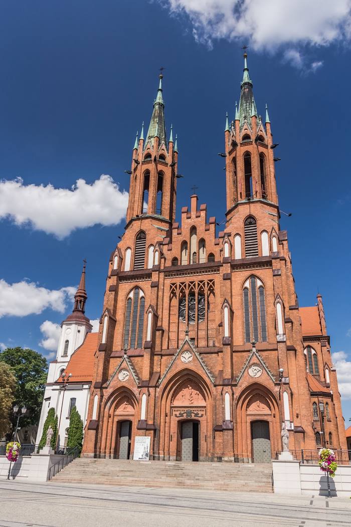
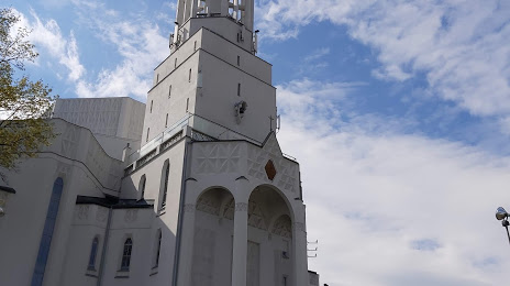
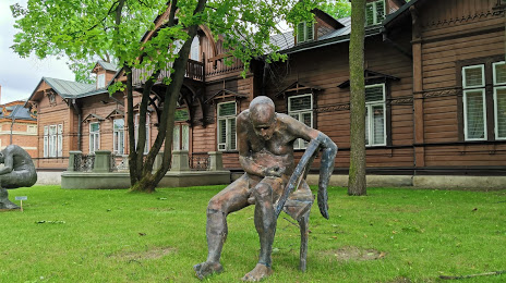
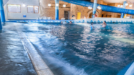
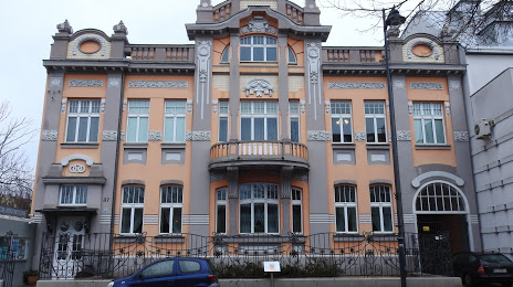
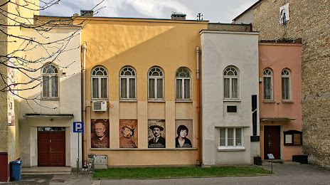
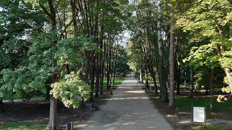
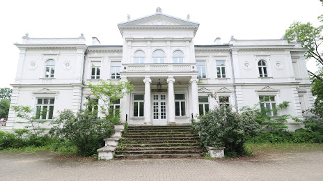
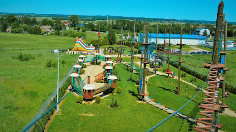
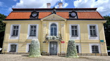
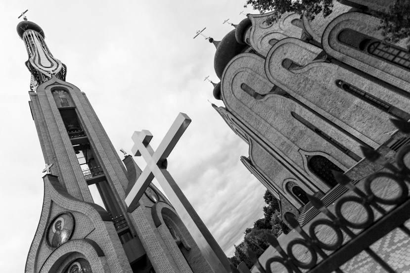
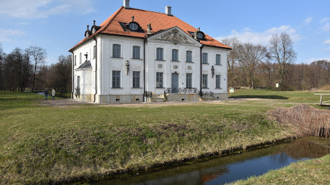
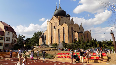
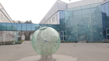
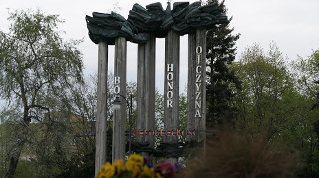
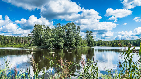
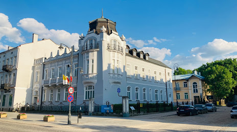
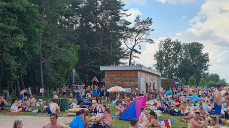
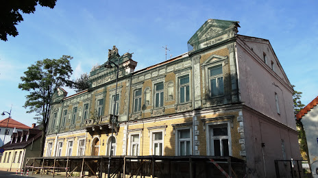
Attractions


Distance to the capital
Distance to the capital (Warsaw) is about — 177 km.