
 Ostrów
Bełżyce
Jaslo
Gniezno
Zamosc
Radom
Suwalki
Nowy Sacz
Biala Podlaska
Ostrow Wielkopolski
Konin
Bialystok
Annopol
Szczecin
Opole
Ostroleka
Plock
Olsztyn
Gdynia
Ostrów
Bełżyce
Jaslo
Gniezno
Zamosc
Radom
Suwalki
Nowy Sacz
Biala Podlaska
Ostrow Wielkopolski
Konin
Bialystok
Annopol
Szczecin
Opole
Ostroleka
Plock
Olsztyn
Gdynia
Myslenice on the map, Poland
Where is located Myslenice
Exact location — Myslenice, Myślenice County, Lesser Poland Voivodeship, Poland, marked on the map with a red marker.
Coordinates
Myslenice, Poland coordinates in decimal format: latitude — 49.83347, longitude — 19.93965. When converted to degrees, minutes, seconds Myslenice has the following coordinates: 49°50′0.49 north latitude and 19°56′22.74 east longitude.
Population
Myslenice, Myślenice County, Lesser Poland Voivodeship, Poland, according to our data the population is — 17,686 residents, which is about 0% of the total population of the country (Poland).
Comparison of the population on the graph:
Exact time
Time zone for this location Myslenice — UTC +2 Europe/Warsaw. Exact time — saturday, 4 april 2024 year, 17 h. 41 minute.
Sunrise and sunset
Myslenice, sunrise and sunset data for a date — saturday 20.04.2024.
| Sunrise | Sunset | Day (duration) |
|---|---|---|
| 05:40 -2 minutes | 19:37 +1 minute | 14 h. 0 minutes. +3 minutes |
You can control the scale of the map using the auxiliary tools to find out exactly where it is located Myslenice. When you change the scale of the map, the width of the ruler also changes (in kilometers and miles).
Nearby cities
The largest cities that are located nearby:
- Kraków — 26 km
- Bielsko-Biala — 63 km
- Dabrowa Gornicza — 75 km
- Tarnow — 77 km
- Sosnowiec — 77 km
- Katowice — 80 km
- Chorzow — 86 km
- Ruda Slaska — 90 km
- Bytom — 92 km
- Zabrze — 98 km
- Gliwice — 103 km
- Rybnik — 103 km
- Ostrava
 (Czech Republic) — 120 km
 - Częstochowa — 122 km
- Kielce — 124 km
- Rzeszow — 148 km
- Košice
 (Slovakia) — 156 km
 - Opole — 169 km
- Radom — 192 km
Distance to neighboring capitals:
- Budapest
 (Hungary) — 268 km
 - Bratislava (Slovakia) — 279 km
- Vienna
 (Austria) — 317 km
 - Prague (Czech Republic) — 395 km
- Berlin
 (Germany) — 545 km
 - Belgrade
 (Serbia) — 563 km
 - Vilnius
 (Lithuania) — 650 km
 - Minsk
 (Belarus) — 691 km
 - Kyiv
 (Ukraine) — 757 km
 - Bucharest
 (Romania) — 760 km
 - Copenhagen
 (Denmark) — 817 km
 - Rīga
 (Latvia) — 838 km
 - Bern
 (Switzerland) — 976 km
 - Amsterdam
 (Netherlands) — 1086 km
 - Helsinki
 (Finland) — 1193 km
 - Paris
 (France) — 1276 km
 - Moscow
 (Russia) — 1354 km
 - Tbilisi
 (Georgia) — 2115 km
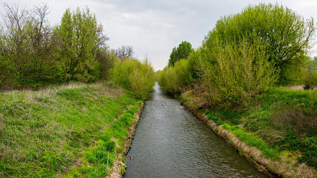
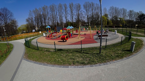
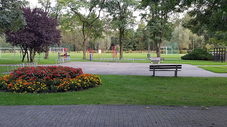
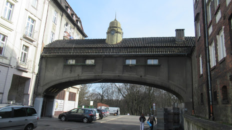
Attractions


Distance to the capital
Distance to the capital (Warsaw) is about — 277 km.