
 Radom
Suwalki
Nowy Sacz
Biala Podlaska
Krosno
Zabierzów
Dabrowa Gornicza
Zielona Gora
Boleslawiec
Kwidzyn
Częstochowa
Łaziska Górne
Olecko
Kalisz
Ostrow Wielkopolski
Konin
Bialystok
Annopol
Szczecin
Radom
Suwalki
Nowy Sacz
Biala Podlaska
Krosno
Zabierzów
Dabrowa Gornicza
Zielona Gora
Boleslawiec
Kwidzyn
Częstochowa
Łaziska Górne
Olecko
Kalisz
Ostrow Wielkopolski
Konin
Bialystok
Annopol
Szczecin
Jelenia Góra on the map, Poland
Where is located Jelenia Góra
Exact location — Jelenia Góra, Jelenia Góra County, Lower Silesian Voivodeship, Poland, marked on the map with a red marker.
Coordinates
Jelenia Góra, Poland coordinates in decimal format: latitude — 50.9044171, longitude — 15.7193616. When converted to degrees, minutes, seconds Jelenia Góra has the following coordinates: 50°54′15.9 north latitude and 15°43′9.7 east longitude.
Population
Jelenia Góra, Jelenia Góra County, Lower Silesian Voivodeship, Poland, according to our data the population is — 87,310 residents, which is about 0.2% of the total population of the country (Poland).
Comparison of the population on the graph:
Exact time
Time zone for this location Jelenia Góra — UTC +2 Europe/Warsaw. Exact time — wednesday, 4 april 2024 year, 07 h. 41 minute.
Sunrise and sunset
Jelenia Góra, sunrise and sunset data for a date — wednesday 24.04.2024.
| Sunrise | Sunset | Day (duration) |
|---|---|---|
| 05:46 -2 minutes | 20:03 +2 minutes | 14 h. 18 minutes. +4 minutes |
You can control the scale of the map using the auxiliary tools to find out exactly where it is located Jelenia Góra. When you change the scale of the map, the width of the ruler also changes (in kilometers and miles).
Nearby cities
The largest cities that are located nearby:
- Walbrzych — 42 km
- Legnica — 45 km
- Wrocław — 94 km
- Zielona Gora — 115 km
- Prague
 (Czech Republic) — 129 km
 - Cottbus
 (Germany) — 134 km
 - Dresden (Germany) — 139 km
- Opole — 156 km
- Olomouc (Czech Republic) — 182 km
- Poznań — 185 km
- Kalisz — 188 km
- Chemnitz (Germany) — 196 km
- Brno (Czech Republic) — 200 km
- Gorzów Wielkopolski — 205 km
- Pilsen (Czech Republic) — 211 km
- Ostrava (Czech Republic) — 217 km
- Gliwice — 219 km
- Rybnik — 219 km
- Zabrze — 226 km
Distance to neighboring capitals:
- Prague (Czech Republic) — 129 km
- Berlin (Germany) — 240 km
- Vienna
 (Austria) — 304 km
 - Bratislava
 (Slovakia) — 323 km
 - Budapest
 (Hungary) — 449 km
 - Copenhagen
 (Denmark) — 570 km
 - Bern
 (Switzerland) — 747 km
 - Amsterdam
 (Netherlands) — 764 km
 - Belgrade
 (Serbia) — 766 km
 - Vilnius
 (Lithuania) — 767 km
 - Rīga
 (Latvia) — 867 km
 - Minsk
 (Belarus) — 869 km
 - Paris
 (France) — 983 km
 - Kyiv
 (Ukraine) — 1043 km
 - Bucharest
 (Romania) — 1058 km
 - Helsinki
 (Finland) — 1181 km
 - Moscow
 (Russia) — 1543 km
 - Tbilisi
 (Georgia) — 2435 km
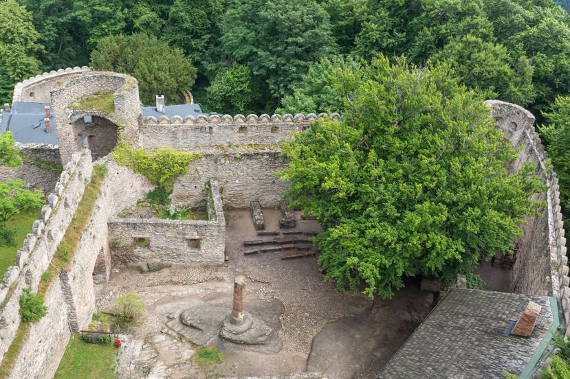
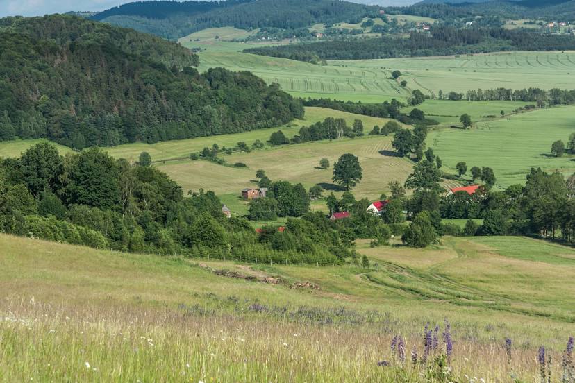
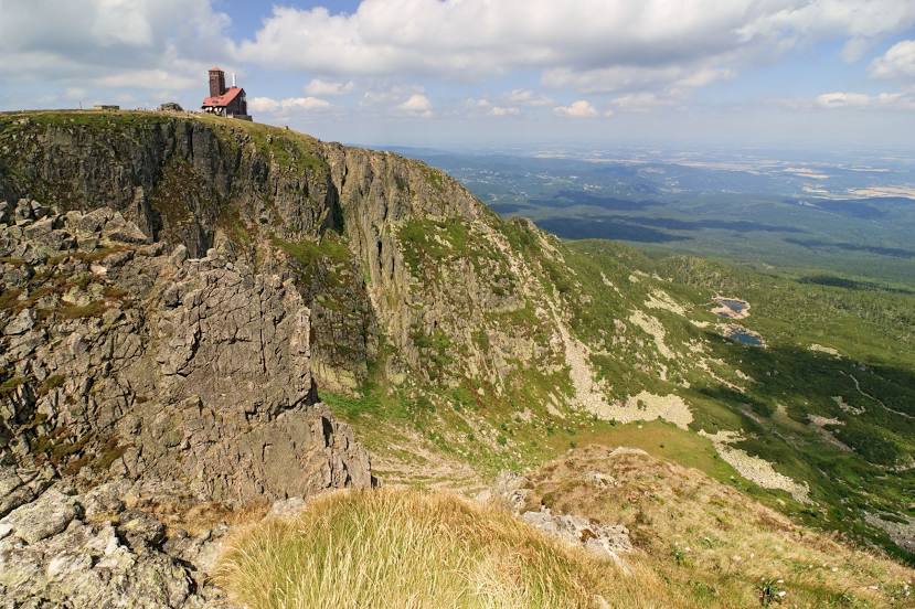
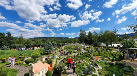
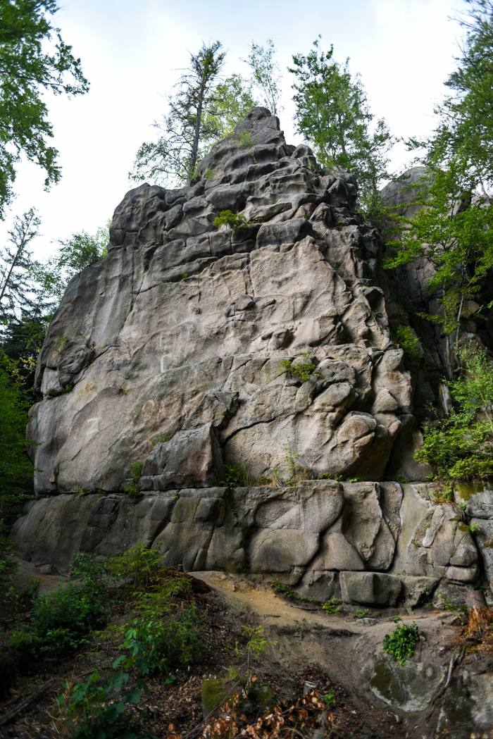
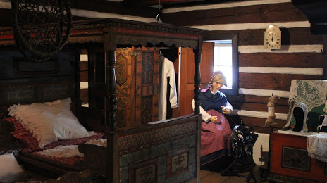
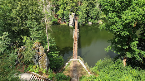
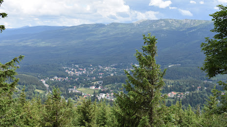
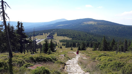
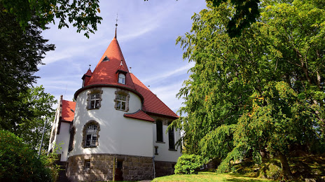
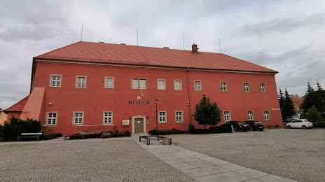
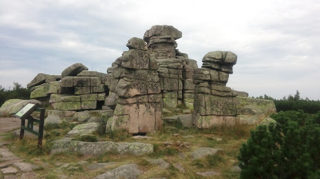
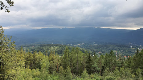
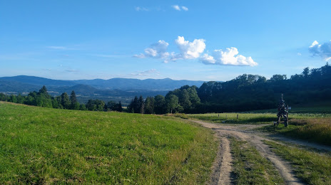
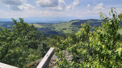
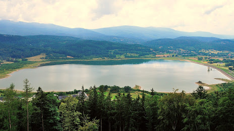
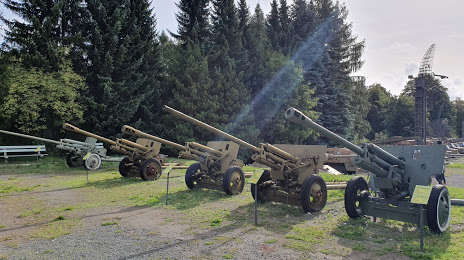
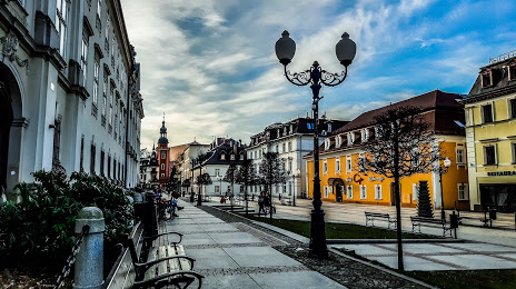
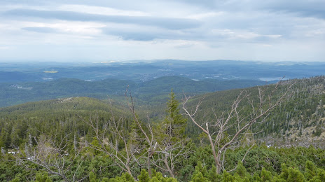
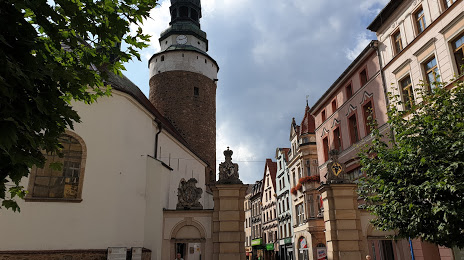
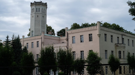
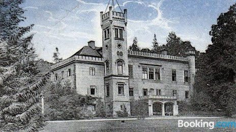
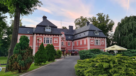
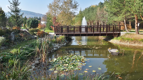
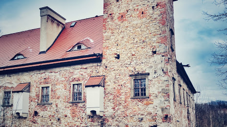
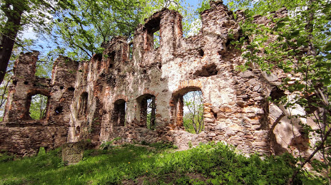
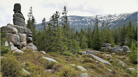
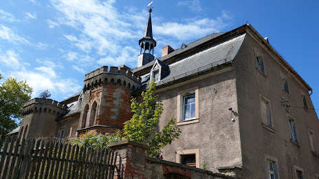
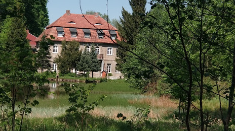
Attractions


Distance to the capital
Distance to the capital (Warsaw) is about — 394 km.