
 Nowy Sacz
Biala Podlaska
Krosno
Zabierzów
Dabrowa Gornicza
Zielona Gora
Boleslawiec
Lukow
Borki
Łomianki
Czechowice-Dziedzice
Kwidzyn
Częstochowa
Łaziska Górne
Olecko
Kalisz
Ostrow Wielkopolski
Konin
Bialystok
Nowy Sacz
Biala Podlaska
Krosno
Zabierzów
Dabrowa Gornicza
Zielona Gora
Boleslawiec
Lukow
Borki
Łomianki
Czechowice-Dziedzice
Kwidzyn
Częstochowa
Łaziska Górne
Olecko
Kalisz
Ostrow Wielkopolski
Konin
Bialystok
Lancut on the map, Poland
Where is located Lancut
Exact location — Lancut, Łańcut County, Podkarpackie Voivodeship, Poland, marked on the map with a red marker.
Coordinates
Lancut, Poland coordinates in decimal format: latitude — 50.06824, longitude — 22.2298. When converted to degrees, minutes, seconds Lancut has the following coordinates: 50°4′5.66 north latitude and 22°13′47.28 east longitude.
Population
Lancut, Łańcut County, Podkarpackie Voivodeship, Poland, according to our data the population is — 18,266 residents, which is about 0% of the total population of the country (Poland).
Comparison of the population on the graph:
Exact time
Time zone for this location Lancut — UTC +2 Europe/Warsaw. Exact time — friday, 4 april 2024 year, 03 h. 44 minutes.
Sunrise and sunset
Lancut, sunrise and sunset data for a date — friday 19.04.2024.
| Sunrise | Sunset | Day (duration) |
|---|---|---|
| 05:32 -2 minutes | 19:27 +1 minute | 13 h. 54 minutes. +3 minutes |
You can control the scale of the map using the auxiliary tools to find out exactly where it is located Lancut. When you change the scale of the map, the width of the ruler also changes (in kilometers and miles).
Nearby cities
The largest cities that are located nearby:
- Rzeszow — 17 km
- Tarnow — 89 km
- Lublin — 132 km
- Kielce — 142 km
- Uzhhorod
 (Ukraine) — 160 km
 - Kraków — 162 km
- Košice
 (Slovakia) — 165 km
 - Radom — 165 km
- Dabrowa Gornicza — 216 km
- Sosnowiec — 222 km
- Katowice — 228 km
- Bielsko-Biala — 228 km
- Częstochowa — 232 km
- Chorzow — 233 km
- Bytom — 236 km
- Nyíregyháza
 (Hungary) — 237 km
 - Ruda Slaska — 239 km
- Miskolc (Hungary) — 243 km
- Zabrze — 245 km
Distance to neighboring capitals:
- Budapest (Hungary) — 369 km
- Bratislava (Slovakia) — 430 km
- Vienna
 (Austria) — 474 km
 - Vilnius
 (Lithuania) — 554 km
 - Prague
 (Czech Republic) — 556 km
 - Minsk
 (Belarus) — 561 km
 - Kyiv (Ukraine) — 591 km
- Belgrade
 (Serbia) — 603 km
 - Berlin
 (Germany) — 671 km
 - Bucharest
 (Romania) — 692 km
 - Rīga
 (Latvia) — 775 km
 - Copenhagen
 (Denmark) — 898 km
 - Helsinki
 (Finland) — 1137 km
 - Bern
 (Switzerland) — 1141 km
 - Moscow
 (Russia) — 1207 km
 - Amsterdam
 (Netherlands) — 1231 km
 - Paris
 (France) — 1439 km
 - Tbilisi
 (Georgia) — 1967 km
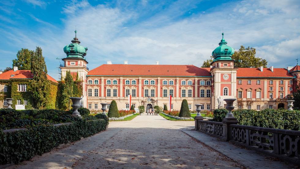
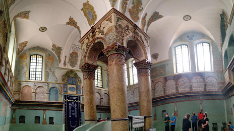
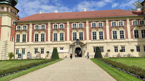
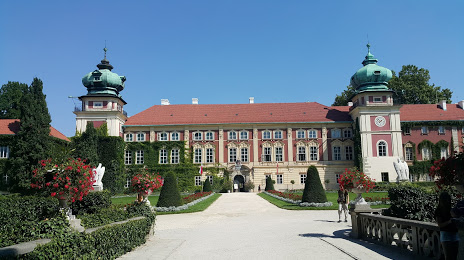
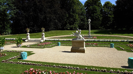
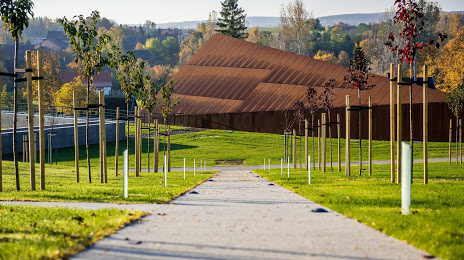
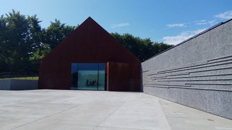
Attractions


Distance to the capital
Distance to the capital (Warsaw) is about — 255 km.