
 Bel-Ha
San Jose El Alto
El Porvenir
Nueva Palestina
Santa Lucía
Chemax
La Morita
Temoac
Zacualpan
Bel-Ha
San Jose El Alto
El Porvenir
Nueva Palestina
Santa Lucía
Chemax
La Morita
Temoac
Zacualpan
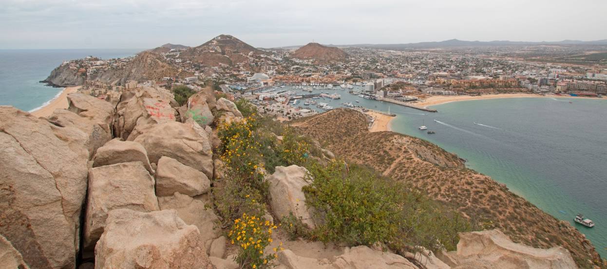
Mt. Solmar on the map, Cabo San Lucas, Mexico
Photo
Where is located Mt. Solmar
Mt. Solmar — local attraction, which is located at 23450 Cabo San Lucas, Baja California Sur, Mexico and belongs to the category — hiking area. Average visitor rating for this place — 4.8 (according to 215 ratings, information from open sources and relevant for 2022).
Exact location — Mt. Solmar, marked on the map with a red marker.
You can get directions to Mt. Solmar on the map from your location.
What else is interesting in Cabo San Lucas? You can see all the sights if you go to the city page.
Coordinates
Mt. Solmar, Mexico coordinates in decimal format: latitude — 22.876641202767427, longitude — -109.90090067548547. When converted to degrees, minutes, seconds Mt. Solmar has the following coordinates: 22°52′35.91 north latitude and -109°54′3.24 east longitude.
Nearby cities
The largest cities that are located nearby:
- La Paz — 144 km
- Los Mochis — 334 km
- Mazatlán — 358 km
- Navojoa — 465 km
- Ciudad Obregón — 508 km
- Tepic — 539 km
- Puerto Vallarta — 545 km
- Durango — 546 km
- Guaymas — 564 km
- Hermosillo — 691 km
- Gómez Palacio — 707 km
- Torreón — 713 km
- Zapopan — 716 km
- Manzanillo — 717 km
- Fresnillo — 717 km
- Guadalajara — 723 km
- Tlaquepaque — 727 km
- Matamoros — 728 km
- Delicias — 729 km
Distance to the capital
Distance to the capital (Mexico City) is about — 1180 km.