 Bel-Ha
San Jose El Alto
El Porvenir
Nueva Palestina
Santa Lucía
Chemax
La Morita
Temoac
Zacualpan
Bel-Ha
San Jose El Alto
El Porvenir
Nueva Palestina
Santa Lucía
Chemax
La Morita
Temoac
Zacualpan
Cascada La Cantera on the map, Caborca, Mexico
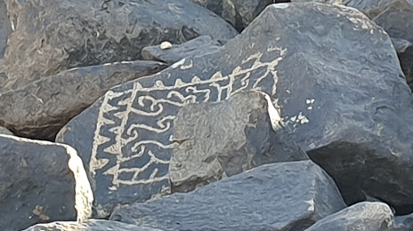
Photo
Where is located Cascada La Cantera
Cascada La Cantera — local attraction, which is located at no data and belongs to the category — -. Average visitor rating for this place — 5.0 (according to 8 ratings, information from open sources and relevant for 2022).
Exact location — Cascada La Cantera, marked on the map with a red marker.
You can get directions to Cascada La Cantera on the map from your location.
What else is interesting in Caborca? You can see all the sights if you go to the city page.
Coordinates
Cascada La Cantera, Mexico coordinates in decimal format: latitude — 30.688579263286627, longitude — -112.24873647532029. When converted to degrees, minutes, seconds Cascada La Cantera has the following coordinates: 30°41′18.89 north latitude and -112°14′55.45 east longitude.
Nearby cities
The largest cities that are located nearby:
- Nogales
 (United States) — 138 km
 - Tucson (United States) — 206 km
- Hermosillo — 215 km
- Chandler (United States) — 290 km
- Gilbert (United States) — 296 km
- Mesa (United States) — 302 km
- Tempe (United States) — 303 km
- Phoenix (United States) — 304 km
- San Luis Río Colorado — 309 km
- Scottsdale (United States) — 310 km
- Glendale (United States) — 314 km
- Peoria (United States) — 319 km
- Guaymas — 332 km
- Mexicali — 371 km
- Ciudad Obregón — 419 km
- Ensenada — 434 km
- Navojoa — 483 km
- Tijuana — 495 km
- Chula Vista (United States) — 504 km
Distance to the capital
Distance to the capital (Mexico City) is about — 1817 km.