 Crucero
Gutiérrez Zamora
Cardonal
Villa del Carbón
Kanasín
El Terrero
Ahuacatlán
Mexico City
Balsas
Río Colorado
La Cañada
Ocotepec
Zacapoaxtla
Atotonilco
Andrés
Galeana
Oxkutzcab
Tekax
Huayacocotla
Crucero
Gutiérrez Zamora
Cardonal
Villa del Carbón
Kanasín
El Terrero
Ahuacatlán
Mexico City
Balsas
Río Colorado
La Cañada
Ocotepec
Zacapoaxtla
Atotonilco
Andrés
Galeana
Oxkutzcab
Tekax
Huayacocotla
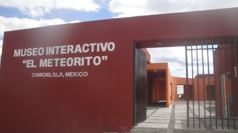
Charcas on the map, Mexico
Where is located Charcas
Exact location — Charcas, Charcas, San Luis Potosi, Mexico, marked on the map with a red marker.
Coordinates
Charcas, Mexico coordinates in decimal format: latitude — 23.126111, longitude — -101.112778. When converted to degrees, minutes, seconds Charcas has the following coordinates: 23°7′34 north latitude and -101°6′46 east longitude.
Population
Charcas, Charcas, San Luis Potosi, Mexico, according to our data the population is — 11,365 residents, which is about 0% of the total population of the country (Mexico).
Comparison of the population on the graph:
Exact time
Time zone for this location Charcas — UTC -6 America/Mexico_City. Exact time — wednesday, 4 april 2024 year, 19 h. 57 minutes.
Sunrise and sunset
Charcas, sunrise and sunset data for a date — wednesday 17.04.2024.
| Sunrise | Sunset | Day (duration) |
|---|---|---|
| 06:23 -1 minute | 19:03 -0 minutes | 12 h. 42 minutes. +1 minute |
You can control the scale of the map using the auxiliary tools to find out exactly where it is located Charcas. When you change the scale of the map, the width of the ruler also changes (in kilometers and miles).
Nearby cities
The largest cities that are located nearby:
- Soledad de Graciano Sánchez — 105 km
- San Luis Potosi — 108 km
- Zacatecas — 155 km
- Fresnillo — 178 km
- Aguascalientes — 183 km
- Ciudad Victoria — 211 km
- León — 229 km
- Saltillo — 255 km
- Irapuato — 272 km
- Salamanca — 283 km
- Santa Catarina — 288 km
- San Pedro Garza García — 289 km
- Celaya — 289 km
- Santiago de Querétaro — 290 km
- Monterrey — 294 km
- Guadalupe — 295 km
- San Nicolas de los Garza — 301 km
- General Escobedo — 304 km
- Apodaca — 308 km
Distance to neighboring capitals:
- Belmopan
 (Belize) — 1444 km
 - Guatemala City
 (Guatemala) — 1460 km
 - Tegucigalpa
 (Honduras) — 1775 km
 - Washington
 (United States) — 2874 km
 - Ottawa
 (Canada) — 3378 km
 - Saint John
 (Puerto Rico) — 3668 km
 - Belgrade
 (Serbia) — 10425 km
 - Podgorica
 (Montenegro) — 10509 km
 - Hagåtña
 (Guam) — 11780 km
Attractions
Distance to the capital
Distance to the capital (Mexico City) is about — 459 km.