Guapirama
Barra do Jacaré
Lagoa Dourada
Toritama
Cajati
Altônia
Campo Magro
Campos Lindos
Mirangaba
Itanhomi
Mirante do Paranapanema
Limoeiro do Norte
Camaçari
Campina da Lagoa
São Miguel Arcanjo
Pato Bragado
Serra Azul
Piratuba
Barra do Bugres
Guapirama
Barra do Jacaré
Lagoa Dourada
Toritama
Cajati
Altônia
Campo Magro
Campos Lindos
Mirangaba
Itanhomi
Mirante do Paranapanema
Limoeiro do Norte
Camaçari
Campina da Lagoa
São Miguel Arcanjo
Pato Bragado
Serra Azul
Piratuba
Barra do Bugres
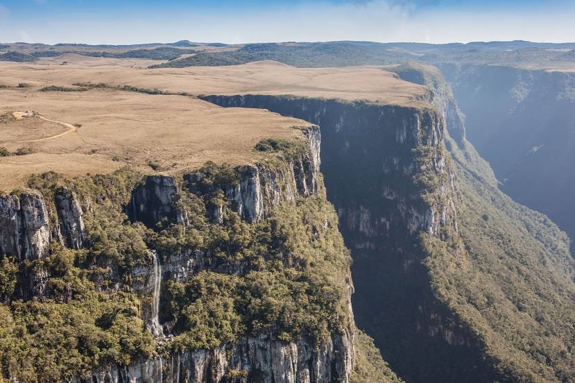
Jacinto Machado on the map, Brazil
Where is located Jacinto Machado
Exact location — Jacinto Machado, Jacinto Machado, Santa Catarina, Brazil, marked on the map with a red marker.
Coordinates
Jacinto Machado, Brazil coordinates in decimal format: latitude — -29.0003465, longitude — -49.7612135. When converted to degrees, minutes, seconds Jacinto Machado has the following coordinates: -29°0′1.25 north latitude and -49°45′40.37 east longitude.
Population
Jacinto Machado, Jacinto Machado, Santa Catarina, Brazil, according to our data the population is — 11,039 residents, which is about 0% of the total population of the country (Brazil).
Comparison of the population on the graph:
Exact time
Time zone for this location Jacinto Machado — UTC -3 America/Sao_Paulo. Exact time — thursday, 4 april 2024 year, 01 h. 05 minutes.
Sunrise and sunset
Jacinto Machado, sunrise and sunset data for a date — thursday 25.04.2024.
| Sunrise | Sunset | Day (duration) |
|---|---|---|
| 06:46 +1 minute | 17:47 -1 minute | 11 h. 0 minutes. -2 minutes |
You can control the scale of the map using the auxiliary tools to find out exactly where it is located Jacinto Machado. When you change the scale of the map, the width of the ruler also changes (in kilometers and miles).
Nearby cities
The largest cities that are located nearby:
- Criciúma — 52 km
- Caxias do Sul — 138 km
- Lages — 142 km
- Novo Hamburgo — 152 km
- Gravataí — 157 km
- São Leopoldo — 157 km
- Cachoeirinha — 166 km
- Viamão — 170 km
- Canoas — 170 km
- Porto Alegre — 180 km
- Palhoça — 184 km
- São José — 189 km
- Guaíba — 193 km
- Florianópolis — 196 km
- Blumenau — 240 km
- Itajaí — 255 km
- Santa Cruz do Sul — 269 km
- Passo Fundo — 271 km
- Jaraguá do Sul — 287 km
Distance to neighboring capitals:
- Asuncion
 (Paraguay) — 878 km
 - Asuncion (Paraguay) — 882 km
- Montevideo
 (Uruguay) — 892 km
 - Buenos Aires
 (Argentina) — 1025 km
 - Santiago
 (Chile) — 2043 km
 - Nuestra Señora de La Paz
 (Bolivia) — 2338 km
 - Paramaribo
 (Suriname) — 3920 km
 - Georgetown
 (Guyana) — 4082 km
 - Quito
 (Ecuador) — 4423 km
 - Bogota
 (Colombia) — 4552 km
 - Caracas
 (Venezuela) — 4766 km