
 San Rafael
Orito
Aquitania
Campo De La Cruz
Aguachica
Ansermanuevo
Paz De Ariporo
Icononzo
Rivera
Guamo
Palmito
Puerto Berrio
Carmen De Viboral
Malaga
Silvia
Guayabal
Barrancas
Susa
Mocoa
San Rafael
Orito
Aquitania
Campo De La Cruz
Aguachica
Ansermanuevo
Paz De Ariporo
Icononzo
Rivera
Guamo
Palmito
Puerto Berrio
Carmen De Viboral
Malaga
Silvia
Guayabal
Barrancas
Susa
Mocoa
La Tebaida on the map, Colombia
Where is located La Tebaida
Exact location — La Tebaida, Quindio, Colombia, marked on the map with a red marker.
Coordinates
La Tebaida, Colombia coordinates in decimal format: latitude — 4.45, longitude — -75.8. When converted to degrees, minutes, seconds La Tebaida has the following coordinates: 4°27′0 north latitude and -75°48′0 east longitude.
Population
La Tebaida, Quindio, Colombia, according to our data the population is — 27,099 residents, which is about 0.1% of the total population of the country (Colombia).
Comparison of the population on the graph:
Exact time
Time zone for this location La Tebaida — UTC -5 America/Bogota. Exact time — friday, 4 april 2024 year, 05 h. 16 minutes.
Sunrise and sunset
La Tebaida, sunrise and sunset data for a date — friday 19.04.2024.
| Sunrise | Sunset | Day (duration) |
|---|---|---|
| 05:57 -0 minutes | 18:06 -0 minutes | 12 h. 12 minutes. -0 minutes |
You can control the scale of the map using the auxiliary tools to find out exactly where it is located La Tebaida. When you change the scale of the map, the width of the ruler also changes (in kilometers and miles).
Nearby cities
The largest cities that are located nearby:
- Armenia — 17 km
- Cartago — 35 km
- Pereira — 42 km
- Dos Quebradas — 45 km
- Tuluá — 60 km
- Ibagué — 63 km
- Manizales — 75 km
- Buga — 82 km
- Girardot — 111 km
- Palmira — 116 km
- Cali — 137 km
- Buenaventura — 154 km
- Soacha — 175 km
- Neiva — 178 km
- Itagüi — 191 km
- Envigado — 192 km
- Medellín — 203 km
- Bello — 210 km
- Popayán — 239 km
Distance to neighboring capitals:
- Quito
 (Ecuador) — 594 km
 - Panama
 (Panama) — 650 km
 - San Jose
 (Costa Rica) — 1099 km
 - Caracas
 (Venezuela) — 1187 km
 - Georgetown
 (Guyana) — 1969 km
 - Nuestra Señora de La Paz
 (Bolivia) — 2477 km
 - Asuncion
 (Paraguay) — 3847 km
 - Santiago
 (Chile) — 4249 km
 - Buenos Aires
 (Argentina) — 4712 km
 - Montevideo
 (Uruguay) — 4835 km
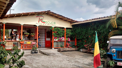
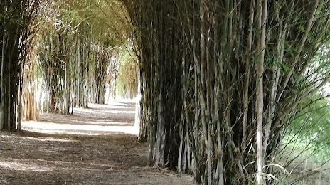
Attractions
Distance to the capital
Distance to the capital (Bogota) is about — 192 km.