 Dresden
Tilbury
Leamington
Simcoe
Saint-Lambert
Salaberry-de-Valleyfield
L'Ancienne-Lorette
Sainte-Rose
Coaticook
Deep River
Brighton
Kemptville
Beauport
Perth
Sainte-Agathe-des-Monts
Cobourg
Cowansville
Mont-Tremblant
La Malbaie
Dresden
Tilbury
Leamington
Simcoe
Saint-Lambert
Salaberry-de-Valleyfield
L'Ancienne-Lorette
Sainte-Rose
Coaticook
Deep River
Brighton
Kemptville
Beauport
Perth
Sainte-Agathe-des-Monts
Cobourg
Cowansville
Mont-Tremblant
La Malbaie
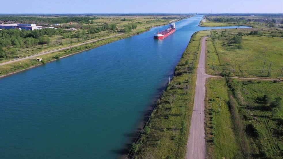
Thorold on the map, Canada
Where is located Thorold
Exact location — Thorold, Niagara Regional Municipality, Ontario, Canada, marked on the map with a red marker.
Coordinates
Thorold, Canada coordinates in decimal format: latitude — 43.1236091, longitude — -79.1989299. When converted to degrees, minutes, seconds Thorold has the following coordinates: 43°7′24.99 north latitude and -79°11′56.15 east longitude.
Population
Thorold, Niagara Regional Municipality, Ontario, Canada, according to our data the population is — 18,224 residents, which is about 0% of the total population of the country (Canada).
Comparison of the population on the graph:
Exact time
Time zone for this location Thorold — UTC -4 America/Toronto. Exact time — saturday, 4 april 2024 year, 21 h. 15 minutes.
Sunrise and sunset
Thorold, sunrise and sunset data for a date — saturday 27.04.2024.
| Sunrise | Sunset | Day (duration) |
|---|---|---|
| 06:18 -1 minute | 20:10 +1 minute | 13 h. 54 minutes. +2 minutes |
You can control the scale of the map using the auxiliary tools to find out exactly where it is located Thorold. When you change the scale of the map, the width of the ruler also changes (in kilometers and miles).
Nearby cities
The largest cities that are located nearby:
- Saint Catharines — 6 km
- Amherst
 (United States) — 37 km
 - Buffalo (United States) — 37 km
- Burlington — 53 km
- Oakville — 55 km
- Hamilton — 56 km
- Toronto — 60 km
- Mississauga — 63 km
- Boston (United States) — 66 km
- Brampton — 81 km
- Markham — 82 km
- Vaughan — 83 km
- Richmond Hill — 86 km
- Whitby — 88 km
- Oshawa — 90 km
- Cambridge — 93 km
- Guelph — 96 km
- Kitchener — 108 km
- Waterloo — 113 km
Distance to neighboring capitals:
- Washington (United States) — 503 km
- Nuuk
 (Greenland) — 2912 km
 - Saint John
 (Puerto Rico) — 3006 km
 - Mexico City
 (Mexico) — 3227 km
 - Belgrade
 (Serbia) — 7424 km
 - Podgorica
 (Montenegro) — 7512 km
 - Hagåtña
 (Guam) — 12301 km
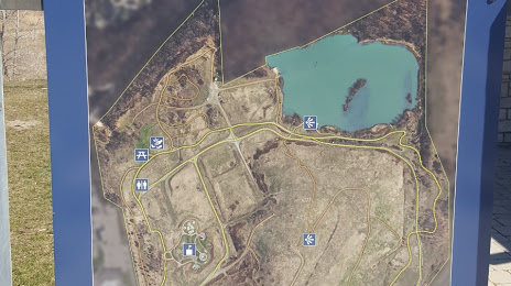
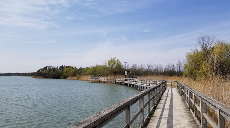
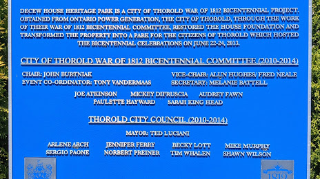
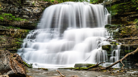
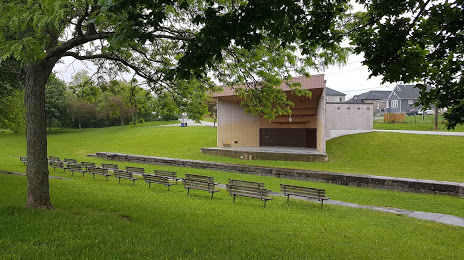
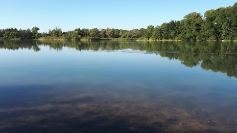
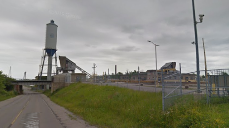
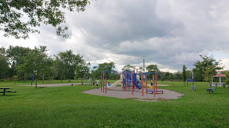
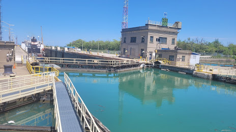
Attractions


Distance to the capital
Distance to the capital (Ottawa) is about — 378 km.