
 Alfambra
Artziniega
Lazagurría
Geria
Castropodame
Trijueque
Ambroz
Bellvei
Larraya
Mas de las Matas
Malpartida de la Serena
Fuente de Piedra
San Esteban de la Sierra
Iza
Belianes
Almenara de Tormes
Tabernas
Montferri
Felix
Alfambra
Artziniega
Lazagurría
Geria
Castropodame
Trijueque
Ambroz
Bellvei
Larraya
Mas de las Matas
Malpartida de la Serena
Fuente de Piedra
San Esteban de la Sierra
Iza
Belianes
Almenara de Tormes
Tabernas
Montferri
Felix
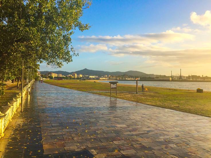
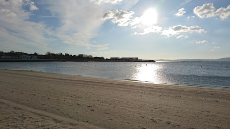
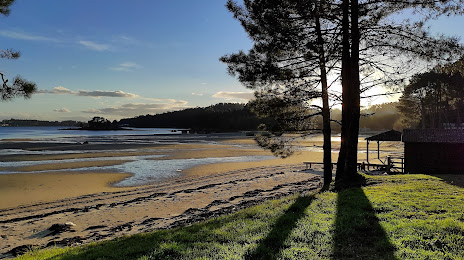
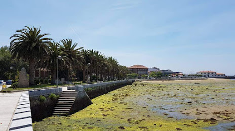
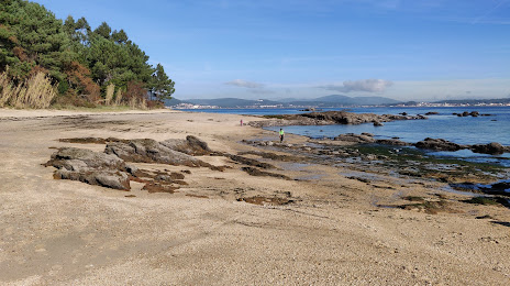
Vilanova de Arousa on the map, Spain
Where is located Vilanova de Arousa
Exact location — Vilanova de Arousa, Pontevedra, Galicia, Spain, marked on the map with a red marker.
Coordinates
Vilanova de Arousa, Spain coordinates in decimal format: latitude — 42.5627589, longitude — -8.8274228. When converted to degrees, minutes, seconds Vilanova de Arousa has the following coordinates: 42°33′45.93 north latitude and -8°49′38.72 east longitude.
Population
Vilanova de Arousa, Pontevedra, Galicia, Spain, according to our data the population is — 10,719 residents, which is about 0% of the total population of the country (Spain).
Comparison of the population on the graph:
Exact time
Time zone for this location Vilanova de Arousa — UTC +2 Europe/Madrid. Exact time — thursday, 5 may 2024 year, 23 h. 48 minutes.
Sunrise and sunset
Vilanova de Arousa, sunrise and sunset data for a date — thursday 9.05.2024.
| Sunrise | Sunset | Day (duration) |
|---|---|---|
| 07:22 -1 minute | 21:40 +1 minute | 14 h. 18 minutes. +2 minutes |
You can control the scale of the map using the auxiliary tools to find out exactly where it is located Vilanova de Arousa. When you change the scale of the map, the width of the ruler also changes (in kilometers and miles).
Nearby cities
The largest cities that are located nearby:
- Vigo — 37 km
- Ourense — 83 km
- A Coruña — 95 km
- Braga
 (Portugal) — 117 km
 - Porto (Portugal) — 156 km
- Oviedo — 255 km
- Coimbra (Portugal) — 263 km
- León — 265 km
- Gijón — 276 km
- Salamanca — 317 km
- Valladolid — 354 km
- Santander — 415 km
- Burgos — 420 km
- Amadora (Portugal) — 422 km
- Queluz (Portugal) — 422 km
- Lisbon (Portugal) — 425 km
- Badajoz — 437 km
- Bilbao — 481 km
- Móstoles — 486 km
Distance to neighboring capitals:
- Lisbon (Portugal) — 428 km
- Andorra la Vella
 (Andorra) — 848 km
 - Rabat
 (Morocco) — 971 km
 - Paris
 (France) — 1113 km
 - Paris (France) — 1113 km
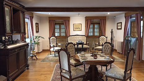
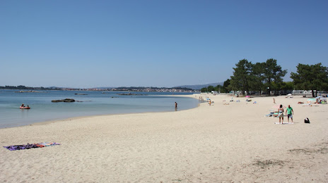
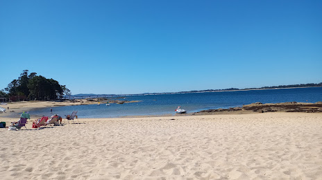
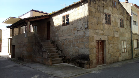
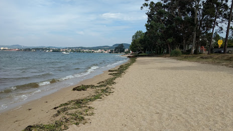
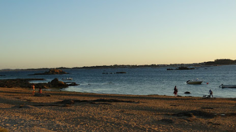
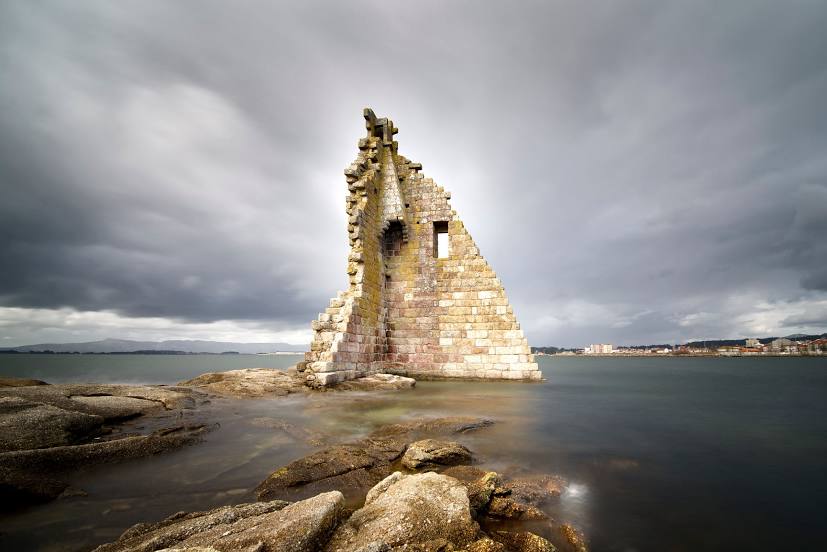
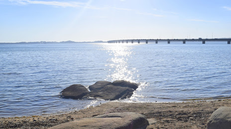
Attractions

Distance to the capital
Distance to the capital (Madrid) is about — 489 km.