
 Alcañices
La Parra
Bronchales
Los Hinojosos
Mediana de Voltoya
Alamillo
Arlegui
Alfarb
Orendain
Orxeta
Villadangos del Páramo
Anguciana
Petrer
Carmonita
Puebla de Sancho Pérez
El Grado
San Esteban de Litera
Arnes
Bellcaire d'Urgell
Alcañices
La Parra
Bronchales
Los Hinojosos
Mediana de Voltoya
Alamillo
Arlegui
Alfarb
Orendain
Orxeta
Villadangos del Páramo
Anguciana
Petrer
Carmonita
Puebla de Sancho Pérez
El Grado
San Esteban de Litera
Arnes
Bellcaire d'Urgell
Canovelles on the map, Spain
Where is located Canovelles
Exact location — Canovelles, Barcelona, Catalunya, Spain, marked on the map with a red marker.
Coordinates
Canovelles, Spain coordinates in decimal format: latitude — 41.6187296, longitude — 2.2770506. When converted to degrees, minutes, seconds Canovelles has the following coordinates: 41°37′7.43 north latitude and 2°16′37.38 east longitude.
Population
Canovelles, Barcelona, Catalunya, Spain, according to our data the population is — 16,023 residents, which is about 0% of the total population of the country (Spain).
Comparison of the population on the graph:
Exact time
Time zone for this location Canovelles — UTC +2 Europe/Madrid. Exact time — thursday, 5 may 2024 year, 22 h. 31 minute.
Sunrise and sunset
Canovelles, sunrise and sunset data for a date — thursday 9.05.2024.
| Sunrise | Sunset | Day (duration) |
|---|---|---|
| 06:40 -1 minute | 20:54 +1 minute | 14 h. 12 minutes. +2 minutes |
You can control the scale of the map using the auxiliary tools to find out exactly where it is located Canovelles. When you change the scale of the map, the width of the ruler also changes (in kilometers and miles).
Nearby cities
The largest cities that are located nearby:
- Sabadell — 16 km
- Mataró — 16 km
- Badalona — 19 km
- Santa Coloma de Gramenet — 20 km
- Terrassa — 23 km
- L'Hospitalet de Llobregat — 31 km
- Tarragona — 102 km
- Perpignan
 (France) — 129 km
 - Lleida — 137 km
- Palma — 229 km
- Toulouse (France) — 229 km
- Montpellier (France) — 255 km
- Zaragoza — 262 km
- Nimes (France) — 296 km
- Marseille (France) — 310 km
- Valencia — 328 km
- Aix-en-Provence (France) — 331 km
- Toulon (France) — 338 km
- Pamplona — 344 km
Distance to neighboring capitals:
- Andorra la Vella
 (Andorra) — 117 km
 - Paris (France) — 805 km
- Paris (France) — 805 km
- Lisbon
 (Portugal) — 1021 km
 - Rabat
 (Morocco) — 1168 km
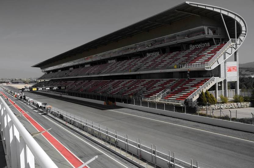
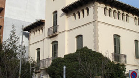
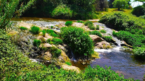
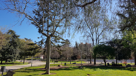
Attractions


Distance to the capital
Distance to the capital (Madrid) is about — 519 km.