Villa Azueta — Arteaga
Villa Azueta — San Lucas
Villa Azueta — Cozumel
Villa Azueta — Culiacán Rosales
Villa Azueta — Santiago Tuxtla
Villa Azueta — Agua del Medio
Villa Azueta — Matlapa
Villa Azueta — The victory
Villa Azueta — Juluapan
Villa Azueta — La Venta
Villa Azueta — San Isidro Mazatepec
Villa Azueta — Tecámac de Felipe Villanueva
Villa Azueta — Muzquiz
Villa Azueta — Irimbo
Villa Azueta — Atasta
Villa Azueta — Juarez
Villa Azueta — Juarez City
Villa Azueta — Santa Ana Hueytlalpan
Villa Azueta — Baca
Sayula de Alemán
Acayucan
Texistepec
Jáltipan Morelos
Cosoleacaque
Minatitlán
Minatitlán
Nanchital de Lázaro Cárdenas del Río
Moloacán
Mundo Nuevo
The Choapas
Ocozocoautla de Espinosa
Berriozábal
Villa Misol-Ha
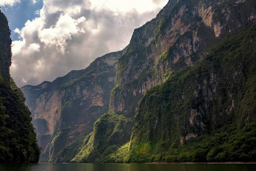
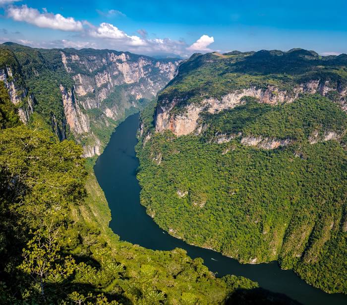
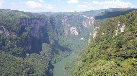
Chiapas
Villa Azueta — Arteaga
Villa Azueta — San Lucas
Villa Azueta — Cozumel
Villa Azueta — Culiacán Rosales
Villa Azueta — Santiago Tuxtla
Villa Azueta — Agua del Medio
Villa Azueta — Matlapa
Villa Azueta — The victory
Villa Azueta — Juluapan
Villa Azueta — La Venta
Villa Azueta — San Isidro Mazatepec
Villa Azueta — Tecámac de Felipe Villanueva
Villa Azueta — Muzquiz
Villa Azueta — Irimbo
Villa Azueta — Atasta
Villa Azueta — Juarez
Villa Azueta — Juarez City
Villa Azueta — Santa Ana Hueytlalpan
Villa Azueta — Baca
Sayula de Alemán
Acayucan
Texistepec
Jáltipan Morelos
Cosoleacaque
Minatitlán
Minatitlán
Nanchital de Lázaro Cárdenas del Río
Moloacán
Mundo Nuevo
The Choapas
Ocozocoautla de Espinosa
Berriozábal
Villa Misol-Ha
Chiapas
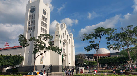
Villa Azueta — Tuxtla Gutiérrez distance, route on the map
Distance by car
Distance between Villa Azueta, Veracruz, Mexico and Tuxtla Gutiérrez, Chiapas, Mexico by car is — km, or miles. To travel this distance by car, you need minute, or h.
Route on the map, driving directions
Car route Villa Azueta — Tuxtla Gutiérrez was created automatically. The road on the map is shown as a blue line. By moving the markers, you can create a new route through the points you need.
Passing cities through which the car route passes: Nopalapan, Sayula de Alemán, Acayucan, Texistepec, Jáltipan Morelos, Cosoleacaque, Minatitlán, Minatitlán, Nanchital de Lázaro Cárdenas del Río, Moloacán, Mundo Nuevo, The Choapas, Ocozocoautla de Espinosa, Berriozábal, Villa Misol-Ha, Chiapas.
Distance by plane
If you decide to take a trip Villa Azueta Tuxtla Gutiérrez by plane, then you have to fly the distance — 313 km or 194 miles. It is marked on the map with a gray line (between two points in a straight line).
Flight time
Estimated flight time Villa Azueta Tuxtla Gutiérrez by plane at cruising speed 750 km / h will be — 25 min.
Direction of movement
Mexico, Villa Azueta — right-hand traffic. Mexico, Tuxtla Gutiérrez — right-hand traffic.
Difference in time
Villa Azueta and Tuxtla Gutiérrez are in the same time zone. Between them there is no time difference (UTC -6 America/Mexico_City).
Interesting Facts
Information on alternative ways to get to your destination.
The length of this distance is about 0.8% of the total length of the equator.
The percentage of the population is clearly shown in the graph:
Villa Azueta — 6,783 (less by 474,360), Tuxtla Gutiérrez — 481,143 residents.
The cost of travel
Calculate the cost of the trip yourself using the fuel consumption calculator, changing the data in the table.