Monte Castelo — Camocim
Monte Castelo — Santo Antônio
Monte Castelo — Campestre
Monte Castelo — Diamantina
Monte Castelo — Cruz das Almas
Monte Castelo — Ibiúna
Monte Castelo — Saquarema
Monte Castelo — Aeroporto Internacional de Foz do Iguaçu - Cataratas
Monte Castelo — Jutaí
Monte Castelo — Jucuruçu
Monte Castelo — Tibau
Monte Castelo — Dourados
Monte Castelo — Boa Vista do Buricá
Monte Castelo — Carpina
Monte Castelo — Sengés
Monte Castelo — Mulungu
Monte Castelo — Sítio das Chagas
Monte Castelo — Porto da Folha
Monte Castelo — Santa Ernestina
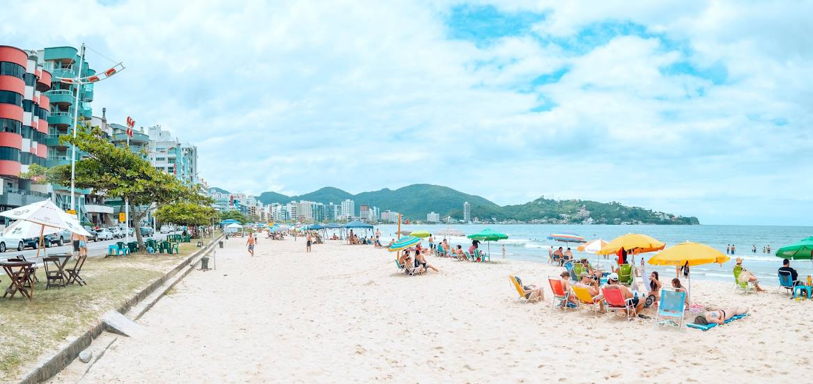
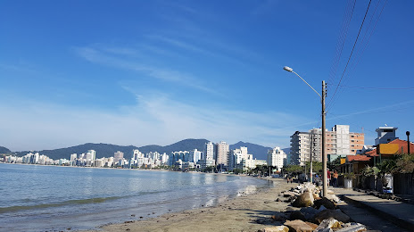
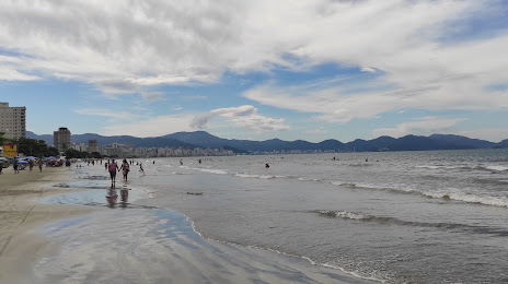
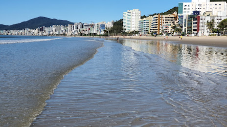
Monte Castelo — Itapema distance, route on the map
Distance by car
Distance between Monte Castelo, Santa Catarina, Brazil and Itapema, Santa Catarina, Brazil by car is — km, or miles. To travel this distance by car, you need minute, or h.
Route on the map, driving directions
Car route Monte Castelo — Itapema was created automatically. The road on the map is shown as a blue line. By moving the markers, you can create a new route through the points you need.
Distance by plane
If you decide to take a trip Monte Castelo Itapema by plane, then you have to fly the distance — 175 km or 109 miles. It is marked on the map with a gray line (between two points in a straight line).
Flight time
Estimated flight time Monte Castelo Itapema by plane at cruising speed 750 km / h will be — 14 min.
Direction of movement
Brazil, Monte Castelo — right-hand traffic. Brazil, Itapema — right-hand traffic.
Difference in time
Monte Castelo and Itapema are in the same time zone. Between them there is no time difference (UTC -3 America/Sao_Paulo).
Interesting Facts
Information on alternative ways to get to your destination.
The length of this distance is about 0.4% of the total length of the equator.
The percentage of the population is clearly shown in the graph:
Monte Castelo — 8,135 (less by 28,631), Itapema — 36,766 residents.
The cost of travel
Calculate the cost of the trip yourself using the fuel consumption calculator, changing the data in the table.