
 Ramón Villeda Morales International Airport
Alliance
Barrio Morazan
Ciudad Kennedy
Polite
Only Pito
Freedom
Dulce Nombre de Culmí
Comayagua
La Virtud
Florida
Trujillo
Guanaja
La Masica
Sula
San Marcos de Colon
Puerto Lempira
La Esperanza
Lepaterique
Ramón Villeda Morales International Airport
Alliance
Barrio Morazan
Ciudad Kennedy
Polite
Only Pito
Freedom
Dulce Nombre de Culmí
Comayagua
La Virtud
Florida
Trujillo
Guanaja
La Masica
Sula
San Marcos de Colon
Puerto Lempira
La Esperanza
Lepaterique
Marcala on the map, Honduras
Where is located Marcala
Exact location — Marcala, La Paz, Honduras, marked on the map with a red marker.
Coordinates
Marcala, Honduras coordinates in decimal format: latitude — 14.1560521, longitude — -88.0363086. When converted to degrees, minutes, seconds Marcala has the following coordinates: 14°9′21.79 north latitude and -88°2′10.71 east longitude.
Population
Marcala, La Paz, Honduras, according to our data the population is — 10,055 residents, which is about 0.1% of the total population of the country (Honduras).
Comparison of the population on the graph:
Exact time
Time zone for this location Marcala — UTC -6 America/Tegucigalpa. Exact time — sunday, 4 april 2024 year, 01 h. 33 minutes.
Sunrise and sunset
Marcala, sunrise and sunset data for a date — sunday 28.04.2024.
| Sunrise | Sunset | Day (duration) |
|---|---|---|
| 05:33 -0 minutes | 18:05 -0 minutes | 12 h. 30 minutes. -0 minutes |
You can control the scale of the map using the auxiliary tools to find out exactly where it is located Marcala. When you change the scale of the map, the width of the ruler also changes (in kilometers and miles).
Nearby cities
The largest cities that are located nearby:
- San Miguel
 (El Salvador) — 76 km
 - Soyapango (El Salvador) — 128 km
- Apopa (El Salvador) — 129 km
- Mejicanos (El Salvador) — 135 km
- San Salvador (El Salvador) — 137 km
- El Progreso — 140 km
- Santa Tecla (El Salvador) — 145 km
- San Pedro Sula — 149 km
- Choloma — 160 km
- Santa Ana (El Salvador) — 165 km
- Chinandega
 (Nicaragua) — 196 km
 - La Ceiba — 219 km
- Lion (Nicaragua) — 228 km
- Villa Canales
 (Guatemala) — 267 km
 - Guatemala City (Guatemala) — 272 km
- Villa Nueva (Guatemala) — 276 km
- San Juan Sacatepéquez (Guatemala) — 286 km
- Managua (Nicaragua) — 295 km
- Escuintla (Guatemala) — 295 km
Distance to neighboring capitals:
- San Salvador (El Salvador) — 138 km
- Guatemala City (Guatemala) — 274 km
- Managua (Nicaragua) — 296 km
- Belmopan
 (Belize) — 353 km
 - San Jose
 (Costa Rica) — 637 km
 - Mexico City
 (Mexico) — 1319 km
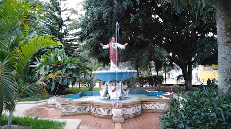
Attractions
Distance to the capital
Distance to the capital (Tegucigalpa) is about — 89 km.