Horcajo de la Sierra — Valencia de las Torres
Horcajo de la Sierra — Arkotxa
Horcajo de la Sierra — Estepona
Horcajo de la Sierra — Torreperogil
Horcajo de la Sierra — Buenavista del Norte
Horcajo de la Sierra — Villafranca del Campo
Horcajo de la Sierra — Progo
Horcajo de la Sierra — El Rocío
Horcajo de la Sierra — Mucientes
Horcajo de la Sierra — Tomelloso
Horcajo de la Sierra — El Prat de Llobregat
Horcajo de la Sierra — Alhama de Granada
Horcajo de la Sierra — Hontanar
Horcajo de la Sierra — Pinarejos
Horcajo de la Sierra — Coria del Río
Horcajo de la Sierra — Castril
Horcajo de la Sierra — Golosalvo
Horcajo de la Sierra — Cantoria
Horcajo de la Sierra — Fontanars dels Alforins
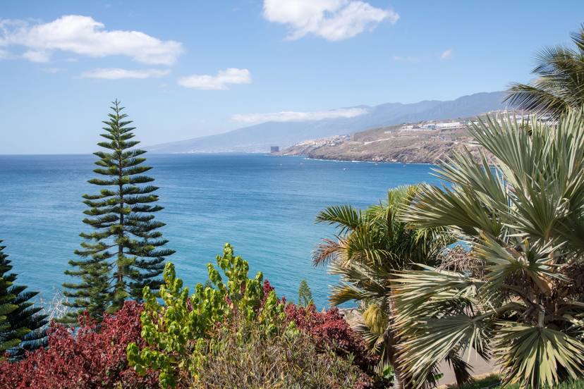
Horcajo de la Sierra — Santa Cruz de Tenerife distance, route on the map
Distance by car
Distance between Horcajo de la Sierra, Comunidad de Madrid, Spain and Santa Cruz de Tenerife, Canarias, Spain by car is — km, or miles. To travel this distance by car, you need minute, or h.
Route on the map, driving directions
Car route Horcajo de la Sierra — Santa Cruz de Tenerife was created automatically. The road on the map is shown as a blue line. By moving the markers, you can create a new route through the points you need.
Distance by plane
If you decide to take a trip Horcajo de la Sierra Santa Cruz de Tenerife by plane, then you have to fly the distance — 1814 km or 1125 miles. It is marked on the map with a gray line (between two points in a straight line).
Flight time
Estimated flight time Horcajo de la Sierra Santa Cruz de Tenerife by plane at cruising speed 750 km / h will be — 2 h. and 25 min.
Direction of movement
Spain, Horcajo de la Sierra — right-hand traffic. Spain, Santa Cruz de Tenerife — right-hand traffic.
Difference in time
Horcajo de la Sierra and Santa Cruz de Tenerife are in different time zones. The time difference is 1 hour (UTC +2 Europe/Madrid, UTC +1 Atlantic/Canary).
Interesting Facts
Information on alternative ways to get to your destination.
The length of this distance is about 4.5% of the total length of the equator.
The percentage of the population is clearly shown in the graph:
Horcajo de la Sierra — 167 (less by 193,685), Santa Cruz de Tenerife — 193,852 residents.
The cost of travel
Calculate the cost of the trip yourself using the fuel consumption calculator, changing the data in the table.