
 Burchak
  Ternivka
Khyzha
Yasynuvata
Soledar
Svitanok
Rubizhne
Zaborol'
Mar'inka
Lutuhyne
Novoazovs'k
Bezdryk
Trypillya
Khyriv
Lebedyn
Okhtyrka
Shakhtne
Tatarbunary
Bohuslav
Ternivka
Khyzha
Yasynuvata
Soledar
Svitanok
Rubizhne
Zaborol'
Mar'inka
Lutuhyne
Novoazovs'k
Bezdryk
Trypillya
Khyriv
Lebedyn
Okhtyrka
Shakhtne
Tatarbunary
Bohuslav
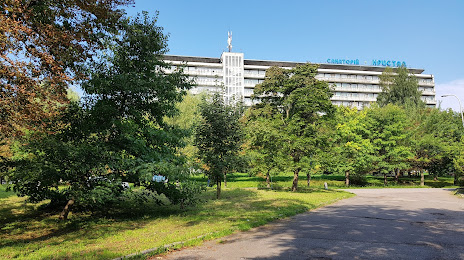
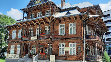
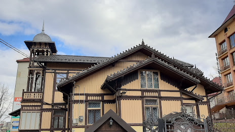
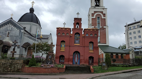
Truskavets on the map, Ukraine
Where is located Truskavets
Exact location — Truskavets, Lviv Oblast, Ukraine, marked on the map with a red marker.
Coordinates
Truskavets, Ukraine coordinates in decimal format: latitude — 49.280556, longitude — 23.505. When converted to degrees, minutes, seconds Truskavets has the following coordinates: 49°16′50 north latitude and 23°30′18 east longitude.
Population
Truskavets, Lviv Oblast, Ukraine, according to our data the population is — 26,600 residents, which is about 0.1% of the total population of the country (Ukraine).
Comparison of the population on the graph:
Exact time
Time zone for this location Truskavets — UTC +3 Europe/Kiev. Exact time — monday, 6 june 2024 year, 19 h. 53 minutes.
Sunrise and sunset
Truskavets, sunrise and sunset data for a date — monday 10.06.2024.
| Sunrise | Sunset | Day (duration) |
|---|---|---|
| 05:24 -1 minute | 21:26 +1 minute | 16 h. 0 minutes. +2 minutes |
You can control the scale of the map using the auxiliary tools to find out exactly where it is located Truskavets. When you change the scale of the map, the width of the ruler also changes (in kilometers and miles).
Nearby cities
The largest cities that are located nearby:
- Uzhhorod — 115 km
- Rzeszow
 (Poland) — 136 km
 - Satu Mare
 (Romania) — 171 km
 - Košice
 (Slovakia) — 175 km
 - Baia Mare (Romania) — 179 km
- Tarnow (Poland) — 196 km
- Nyíregyháza
 (Hungary) — 198 km
 - Chernivtsi — 210 km
- Lublin (Poland) — 227 km
- Debrecen (Hungary) — 239 km
- Miskolc (Hungary) — 241 km
- Rivne — 243 km
- Kielce (Poland) — 266 km
- Kraków (Poland) — 267 km
- Oradea (Romania) — 272 km
- Suceava (Romania) — 273 km
- Cluj-Napoca (Romania) — 278 km
- Radom (Poland) — 285 km
- Botoșani (Romania) — 290 km
Distance to neighboring capitals:
- Warsaw (Poland) — 372 km
- Budapest (Hungary) — 385 km
- Chisinau
 (Moldova) — 475 km
 - Bratislava (Slovakia) — 486 km
- Vienna
 (Austria) — 536 km
 - Belgrade
 (Serbia) — 551 km
 - Bucharest (Romania) — 575 km
- Minsk
 (Belarus) — 586 km
 - Vilnius
 (Lithuania) — 613 km
 - Prague
 (Czech Republic) — 658 km
 - Sofia
 (Bulgaria) — 732 km
 - Rīga
 (Latvia) — 854 km
 - Moscow
 (Russia) — 1193 km
 - Helsinki
 (Finland) — 1215 km
 - Tbilisi
 (Georgia) — 1851 km
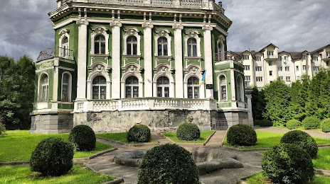
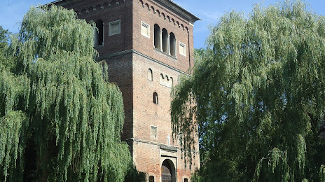
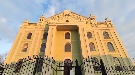
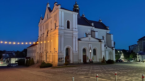
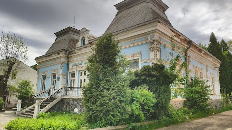
Attractions

Distance to the capital
Distance to the capital (Kyiv) is about — 520 km.