
 Józefów nad Wisłą
Gorzyce Wielkie
Rogówek
Sromowce Niżne
Wyszków County
Kruszewo
Jantar
Sady Górne
Nagoszewo
Józefów nad Wisłą
Gorzyce Wielkie
Rogówek
Sromowce Niżne
Wyszków County
Kruszewo
Jantar
Sady Górne
Nagoszewo
Kurza Góra on the map, Nowe Miasto Lubawskie, Poland
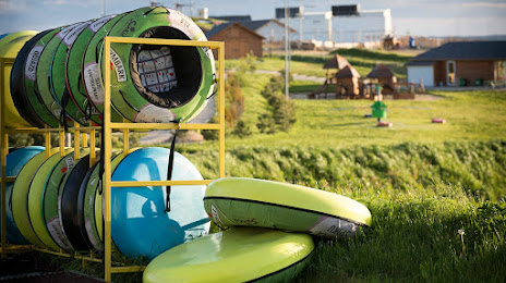
Photo
Where is located Kurza Góra
Kurza Góra — local attraction, which is located at Kurza 1, 13-306 Kurzętnik, Poland and belongs to the category — ski resort. Average visitor rating for this place — 4.0 (according to 597 ratings, information from open sources and relevant for 2022).
Exact location — Kurza Góra, marked on the map with a red marker.
You can get directions to Kurza Góra on the map from your location.
What else is interesting in Nowe Miasto Lubawskie? You can see all the sights if you go to the city page.
Coordinates
Kurza Góra, Poland coordinates in decimal format: latitude — 53.39771839286145, longitude — 19.590126225389888. When converted to degrees, minutes, seconds Kurza Góra has the following coordinates: 53°23′51.79 north latitude and 19°35′24.45 east longitude.
Nearby cities
The largest cities that are located nearby:
- Olsztyn — 70 km
- Torun — 80 km
- Elblag — 82 km
- Wloclawek — 93 km
- Plock — 97 km
- Bydgoszcz — 110 km
- Gdańsk — 119 km
- Gdynia — 139 km
- Kaliningrad
 (Russia) — 155 km
 - Łódź — 184 km
- Kalisz — 210 km
- Poznań — 212 km
- Koszalin — 237 km
- Bialystok — 239 km
- Radom — 248 km
- Klaipėda
 (Lithuania) — 270 km
 - Częstochowa — 290 km
- Kielce — 292 km
- Gorzów Wielkopolski — 301 km
Distance to the capital
Distance to the capital (Warsaw) is about — 161 km.