
 Gilserberg
Berlin
Bordesholm
Bechtolsheim
Aub
Triptis
Heppenheim
Biblis
Angermünde
Gilserberg
Berlin
Bordesholm
Bechtolsheim
Aub
Triptis
Heppenheim
Biblis
Angermünde
Wulfener-Hals-Weg on the map, Fehmarn, Germany
Photo
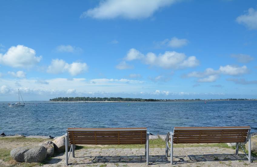
Where is located Wulfener-Hals-Weg
Wulfener-Hals-Weg — local attraction, which is located at no data and belongs to the category — -. Average visitor rating for this place — - (according to 0 ratings, information from open sources and relevant for 2022).
Exact location — Wulfener-Hals-Weg, marked on the map with a red marker.
You can get directions to Wulfener-Hals-Weg on the map from your location.
What else is interesting in Fehmarn? You can see all the sights if you go to the city page.
Coordinates
Wulfener-Hals-Weg, Germany coordinates in decimal format: latitude — 54.40897198161452, longitude — 11.170287125428157. When converted to degrees, minutes, seconds Wulfener-Hals-Weg has the following coordinates: 54°24′32.3 north latitude and 11°10′13.03 east longitude.
Nearby cities
The largest cities that are located nearby:
- Kiel — 67 km
- Rostock — 75 km
- Odense
 (Denmark) — 114 km
 - Copenhagen (Denmark) — 161 km
- Malmö
 (Sweden) — 172 km
 - Bremerhaven — 196 km
- Aarhus (Denmark) — 197 km
- Bremen — 217 km
- Wolfsburg — 226 km
- Brunswick — 246 km
- Hanover — 249 km
- Szczecin
 (Poland) — 252 km
 - Magdeburg — 261 km
- Salzgitter — 261 km
- Potsdam — 263 km
- Berlin — 265 km
- Hildesheim — 267 km
- Aalborg (Denmark) — 295 km
- Osnabrück — 319 km
Distance to the capital
Distance to the capital (Berlin) is about — 257 km.