Licínio de Almeida — Queluz
Licínio de Almeida — Rio de Janeiro
Licínio de Almeida — Alto Paraná
Licínio de Almeida — Salitre de Minas
Licínio de Almeida — Campina da Lagoa
Licínio de Almeida — Ipiaú
Licínio de Almeida — Itapaci
Licínio de Almeida — Torres
Licínio de Almeida — Porciúncula
Licínio de Almeida — Brasília
Licínio de Almeida — Belém
Licínio de Almeida — Tanguá
Licínio de Almeida — Barra da Estiva
Licínio de Almeida — Itapetininga
Licínio de Almeida — Jardim Thelja
Licínio de Almeida — Canhotinho
Licínio de Almeida — Paranavaí
Licínio de Almeida — Prudentópolis
Licínio de Almeida — Maxaranguape
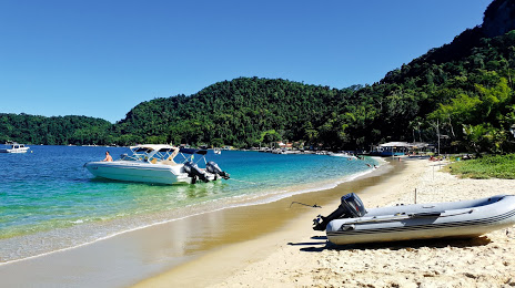
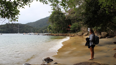
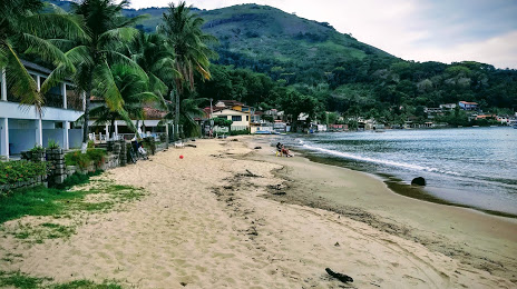
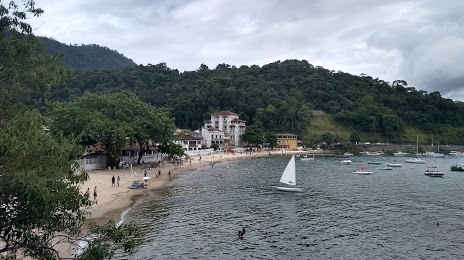
Licínio de Almeida — Angra dos Reis distance, route on the map
Distance by car
Distance between Licínio de Almeida, Bahia, Brazil and Angra dos Reis, State of Rio de Janeiro, Brazil by car is — km, or miles. To travel this distance by car, you need minute, or h.
Route on the map, driving directions
Car route Licínio de Almeida — Angra dos Reis was created automatically. The road on the map is shown as a blue line. By moving the markers, you can create a new route through the points you need.
Distance by plane
If you decide to take a trip Licínio de Almeida Angra dos Reis by plane, then you have to fly the distance — 945 km or 586 miles. It is marked on the map with a gray line (between two points in a straight line).
Flight time
Estimated flight time Licínio de Almeida Angra dos Reis by plane at cruising speed 750 km / h will be — 1 h. and 15 min.
Direction of movement
Brazil, Licínio de Almeida — right-hand traffic. Brazil, Angra dos Reis — right-hand traffic.
Difference in time
Licínio de Almeida and Angra dos Reis are in the same time zone. Between them there is no time difference (UTC -3 America/Fortaleza).
Interesting Facts
Information on alternative ways to get to your destination.
The length of this distance is about 2.4% of the total length of the equator.
The percentage of the population is clearly shown in the graph:
Licínio de Almeida — 13,205 (less by 140,432), Angra dos Reis — 153,637 residents.
The cost of travel
Calculate the cost of the trip yourself using the fuel consumption calculator, changing the data in the table.