Dom Pedro — Capela
Dom Pedro — Sarandi
Dom Pedro — São Lourenço da Mata
Dom Pedro — Congonhal
Dom Pedro — Leópolis
Dom Pedro — São Francisco de Assis
Dom Pedro — Arara
Dom Pedro — Alvarenga
Dom Pedro — Itapissuma
Dom Pedro — Tietê
Dom Pedro — Gouveia
Dom Pedro — Mirandiba
Dom Pedro — Ipaba
Dom Pedro — Nova Alvorada do Sul
Dom Pedro — Piatã
Dom Pedro — Pratinha
Dom Pedro — Pernambuco
Dom Pedro — Salgado
Dom Pedro — Tiradentes
Colinas
São João dos Patos
Guadalupe
Formosa do Rio Preto
Barreiras
Correntina
Cocos
Manga
Manga
Janaúba
Helicóptero
Montes Claros
Corinto
Paraopeba
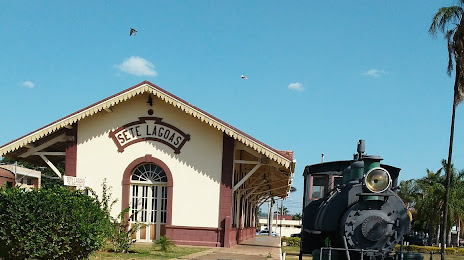
Dom Pedro — Sete Lagoas distance, route on the map
Distance by car
Distance between Dom Pedro, Maranhão, Brazil and Sete Lagoas, Minas Gerais, Brazil by car is — km, or miles. To travel this distance by car, you need minute, or h.
Route on the map, driving directions
Car route Dom Pedro — Sete Lagoas was created automatically. The road on the map is shown as a blue line. By moving the markers, you can create a new route through the points you need.
Passing cities through which the car route passes: Presidente Dutra, Colinas, São João dos Patos, Guadalupe, Formosa do Rio Preto, Barreiras, Correntina, Cocos, Manga, Manga, Janaúba, Helicóptero, Montes Claros, Corinto, Paraopeba.
Distance by plane
If you decide to take a trip Dom Pedro Sete Lagoas by plane, then you have to fly the distance — 1604 km or 994 miles. It is marked on the map with a gray line (between two points in a straight line).
Flight time
Estimated flight time Dom Pedro Sete Lagoas by plane at cruising speed 750 km / h will be — 2 h. and 8 min.
Direction of movement
Brazil, Dom Pedro — right-hand traffic. Brazil, Sete Lagoas — right-hand traffic.
Difference in time
Dom Pedro and Sete Lagoas are in the same time zone. Between them there is no time difference (UTC -3 America/Fortaleza).
Interesting Facts
Information on alternative ways to get to your destination.
The length of this distance is about 4.0% of the total length of the equator.
The percentage of the population is clearly shown in the graph:
Dom Pedro — 15,570 (less by 185,764), Sete Lagoas — 201,334 residents.
The cost of travel
Calculate the cost of the trip yourself using the fuel consumption calculator, changing the data in the table.