

Jeen Mata Mandir on the map, Sikar, India
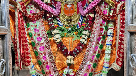
Photo
Where is located Jeen Mata Mandir
Jeen Mata Mandir — local attraction, which is located at H4Q3+5V9, Sikar, Rajasthan 332001, India and belongs to the category — hindu temple. Average visitor rating for this place — 4.7 (according to 45 ratings, information from open sources and relevant for 2022).
Exact location — Jeen Mata Mandir, marked on the map with a red marker.
You can get directions to Jeen Mata Mandir on the map from your location.
What else is interesting in Sikar? You can see all the sights if you go to the city page.
Coordinates
Jeen Mata Mandir, India coordinates in decimal format: latitude — 27.514510715603013, longitude — 75.11050391131204. When converted to degrees, minutes, seconds Jeen Mata Mandir has the following coordinates: 27°30′52.24 north latitude and 75°6′37.81 east longitude.
Nearby cities
The largest cities that are located nearby:
- Jaipur — 100 km
- Kishangarh — 116 km
- Ajmer — 137 km
- Alwar — 147 km
- Rewari — 157 km
- Hisar — 179 km
- Bikaner — 185 km
- Rohtak — 199 km
- Gurgaon — 206 km
- Gorakhpur — 209 km
- Sirsa — 213 km
- Delhi — 226 km
- Delhi — 227 km
- Faridabad — 230 km
- Bharatpur — 235 km
- Noida — 241 km
- Mathura — 249 km
- Ghaziabad — 253 km
- Jodhpur — 259 km
Distance to the capital
Distance to the capital (New Delhi) is about — 240 km.