
 Maureville
Samoëns
Gréning
Toulouse
Volx
Goudet
Méhoncourt
Saint-Hymer
Pontcarré
Maureville
Samoëns
Gréning
Toulouse
Volx
Goudet
Méhoncourt
Saint-Hymer
Pontcarré
Cailly on the map, Maromme, France
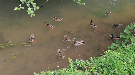
Photo
Where is located Cailly
Cailly — local attraction, which is located at 29 km and belongs to the category — -. Average visitor rating for this place — 5.0 (according to 2 ratings, information from open sources and relevant for 2022).
Exact location — Cailly, marked on the map with a red marker.
You can get directions to Cailly on the map from your location.
What else is interesting in Maromme? You can see all the sights if you go to the city page.
Coordinates
Cailly, France coordinates in decimal format: latitude — 49.47646433247894, longitude — 1.0315309035244173. When converted to degrees, minutes, seconds Cailly has the following coordinates: 49°28′35.27 north latitude and 1°1′53.51 east longitude.
Nearby cities
The largest cities that are located nearby:
- Rouen — 6 km
- Le Havre — 67 km
- Amiens — 100 km
- Caen — 107 km
- Boulogne-Billancourt — 112 km
- Eastbourne
 (United Kingdom) — 152 km
 - Le Mans — 175 km
- Orléans — 186 km
- Lille — 190 km
- Crawley (United Kingdom) — 199 km
- Portsmouth (United Kingdom) — 210 km
- Gillingham (United Kingdom) — 213 km
- Reims — 217 km
- Sutton (United Kingdom) — 225 km
- Southend-on-Sea (United Kingdom) — 229 km
- Tours — 232 km
- Southampton (United Kingdom) — 233 km
- Basildon (United Kingdom) — 235 km
- London (United Kingdom) — 238 km
Distance to the capital
Distance to the capital (Paris) is about — 118 km.