
 Puerto de la Duquesa
La Serna de Iguña
Pumalverde
Puentenansa
La Iglesia
Casar de Periedo
Fuengirola
Renedo de Piélagos
Villabanez
Puerto de la Duquesa
La Serna de Iguña
Pumalverde
Puentenansa
La Iglesia
Casar de Periedo
Fuengirola
Renedo de Piélagos
Villabanez
Playa de la Arena on the map, Guía de Isora, Spain
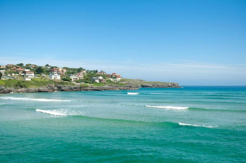
Photo
Where is located Playa de la Arena
Playa de la Arena — local attraction, which is located at Santa Cruz de Tenerife and belongs to the category — -. Average visitor rating for this place — 4.5 (according to 730 ratings, information from open sources and relevant for 2022).
Exact location — Playa de la Arena, marked on the map with a red marker.
You can get directions to Playa de la Arena on the map from your location.
What else is interesting in Guía de Isora? You can see all the sights if you go to the city page.
Coordinates
Playa de la Arena, Spain coordinates in decimal format: latitude — 28.2296282452699, longitude — -16.841141975376985. When converted to degrees, minutes, seconds Playa de la Arena has the following coordinates: 28°13′46.66 north latitude and -16°50′28.11 east longitude.
Nearby cities
The largest cities that are located nearby:
- Santa Cruz de Tenerife — 58 km
- Las Palmas de Gran Canaria — 131 km
- Telde — 135 km
- Agadir
 (Morocco) — 727 km
 - Essaouira (Morocco) — 755 km
- Safi (Morocco) — 838 km
- Marrakesh (Morocco) — 908 km
- El Jadida (Morocco) — 946 km
- Ouarzazate (Morocco) — 981 km
- Casablanca (Morocco) — 1033 km
- Azilal (Morocco) — 1044 km
- Khouribga (Morocco) — 1051 km
- Mohammedia (Morocco) — 1055 km
- Temara (Morocco) — 1104 km
- Sale (Morocco) — 1120 km
- Nouakchott
 (Mauritania) — 1121 km
 - Kenitra (Morocco) — 1146 km
- Khenifra (Morocco) — 1156 km
- Khemisset (Morocco) — 1163 km
Distance to the capital
Distance to the capital (Madrid) is about — 1811 km.