Altair — Formiga
Altair — São José dos Pinhais
Altair — Tapejara
Altair — Martins Soares
Altair — Cosmópolis
Altair — Araranguá
Altair — Saint Andrew
Altair — Rifaina
Altair — Cachoeira Dourada
Altair — Acopiara
Altair — Sobreiro
Altair — Araxá
Altair — Várzea Paulista
Altair — Araguaiana
Altair — Tocantins
Altair — Labrea
Altair — Esperantina
Altair — Divinolândia
Altair — Minas Novas
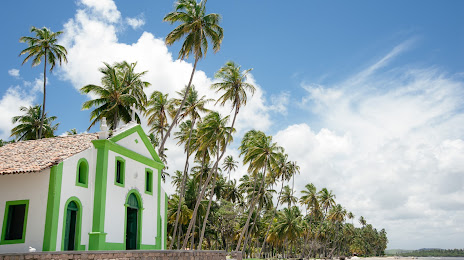
Altair — Rio Formoso distance, route on the map
Distance by car
Distance between Altair, São Paulo, Brazil and Rio Formoso, Pernambuco, Brazil by car is — km, or miles. To travel this distance by car, you need minute, or h.
Route on the map, driving directions
Car route Altair — Rio Formoso was created automatically. The road on the map is shown as a blue line. By moving the markers, you can create a new route through the points you need.
Distance by plane
If you decide to take a trip Altair Rio Formoso by plane, then you have to fly the distance — 1993 km or 1236 miles. It is marked on the map with a gray line (between two points in a straight line).
Flight time
Estimated flight time Altair Rio Formoso by plane at cruising speed 750 km / h will be — 2 h. and 39 min.
Direction of movement
Brazil, Altair — right-hand traffic. Brazil, Rio Formoso — right-hand traffic.
Difference in time
Altair and Rio Formoso are in the same time zone. Between them there is no time difference (UTC -3 America/Sao_Paulo).
Interesting Facts
Information on alternative ways to get to your destination.
The length of this distance is about 5.0% of the total length of the equator.
The percentage of the population is clearly shown in the graph:
Altair — 3,509 (less by 12,009), Rio Formoso — 15,518 residents.
The cost of travel
Calculate the cost of the trip yourself using the fuel consumption calculator, changing the data in the table.