Kurort Volkersdorf — Siegertsbrunn
Kurort Volkersdorf — Gudow
Kurort Volkersdorf — Kirchnüchel
Kurort Volkersdorf — Eschenrode
Kurort Volkersdorf — Hundhaupten
Kurort Volkersdorf — Mirskofen
Kurort Volkersdorf — Altengroitzsch
Kurort Volkersdorf — Starnberg
Kurort Volkersdorf — Kirchwalsede
Kurort Volkersdorf — Maierhöfen
Kurort Volkersdorf — Heising
Kurort Volkersdorf — Grünefeld
Kurort Volkersdorf — Bergisch Gladbach
Kurort Volkersdorf — Mehring
Kurort Volkersdorf — Wilstorf
Kurort Volkersdorf — Marktschorgast
Kurort Volkersdorf — Langballig
Kurort Volkersdorf — Bretzfeld
Kurort Volkersdorf — Siebenlehn
Radebeul
Leutewitz
Cossebaude
Kaufbach
Wilsdruff
Klipphausen
Birkenhain
Munzig
Siebenlehn
Hainichen
Schönborn-Dreiwerden
Frankenberg
Lichtenwalde
Chemnitz-Wittgensdorf
Rabenstein
3A
Leukersdorf
Pfaffenhain
Niederdorf
Neuwürschnitz
Thierfeld
Wildenfels
Reinsdorf
Cainsdorf
Hirschfeld
Lengenfeld
Reichenbach im Vogtland
Hartmannsgrün
Treuen
Zobes
Neuensalz
Theuma
Oelsnitz
Weischlitz
Trogen
Wiedersberg
Gattendorf
Regnitzlosau
Rehau
Schonwald
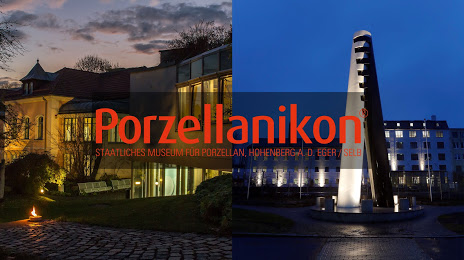
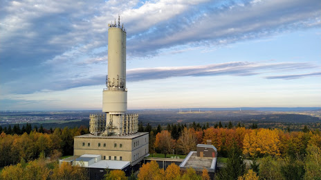
Kurort Volkersdorf — Selb distance, route on the map
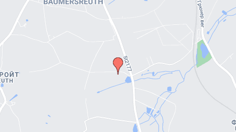
Distance by car
Distance between Kurort Volkersdorf, Sachsen, Germany and Selb, Bavaria, Germany by car is — km, or miles. To travel this distance by car, you need minute, or h.
Route on the map, driving directions
Car route Kurort Volkersdorf — Selb was created automatically. The road on the map is shown as a blue line. By moving the markers, you can create a new route through the points you need.
Passing cities through which the car route passes: Dresden Airport, Radebeul, Leutewitz, Cossebaude, Kaufbach, Wilsdruff, Klipphausen, Birkenhain, Munzig, Siebenlehn, Hainichen, Schönborn-Dreiwerden, Frankenberg, Lichtenwalde, Chemnitz-Wittgensdorf, Rabenstein, 3A, Leukersdorf, Pfaffenhain, Niederdorf, Neuwürschnitz, Thierfeld, Wildenfels, Reinsdorf, Cainsdorf, Hirschfeld, Lengenfeld, Reichenbach im Vogtland, Hartmannsgrün, Treuen, Zobes, Neuensalz, Theuma, Oelsnitz, Weischlitz, Trogen, Wiedersberg, Gattendorf, Regnitzlosau, Rehau, Schonwald.
Distance by plane
If you decide to take a trip Kurort Volkersdorf Selb by plane, then you have to fly the distance — 157 km or 97 miles. It is marked on the map with a gray line (between two points in a straight line).
Flight time
Estimated flight time Kurort Volkersdorf Selb by plane at cruising speed 750 km / h will be — 12 min.
Direction of movement
Germany, Kurort Volkersdorf — right-hand traffic. Germany, Selb — right-hand traffic.
Difference in time
Kurort Volkersdorf and Selb are in the same time zone. Between them there is no time difference (UTC +2 Europe/Berlin).
Interesting Facts
Information on alternative ways to get to your destination.
The length of this distance is about 0.4% of the total length of the equator.
The cost of travel
Calculate the cost of the trip yourself using the fuel consumption calculator, changing the data in the table.