Guaraciaba — Estrela
Guaraciaba — Nossa Senhora de Lourdes
Guaraciaba — Bela Cruz
Guaraciaba — Reriutaba
Guaraciaba — Carlos Chagas
Guaraciaba — Macapá
Guaraciaba — Piraí
Guaraciaba — Cromínia
Guaraciaba — Brazil
Guaraciaba — Astorga
Guaraciaba — Ibiraquera
Guaraciaba — Maracanaú
Guaraciaba — Piraju
Guaraciaba — Boa Vista
Guaraciaba — Bacurituba
Guaraciaba — Uchoa
Guaraciaba — Planura
Guaraciaba — Bandeirantes
Guaraciaba — Três Rios
Descanso
Vicente Dutra
Seberi
Palmeira das Missões
Condor
Panambi
Cruz Alta
Júlio de Castilhos
Itaara
Santa Maria
Caçapava do Sul
Canguçu
Guaraciaba — Pelotas distance, route on the map
Distance by car
Distance between Guaraciaba, Santa Catarina, Brazil and Pelotas, Rio Grande do Sul, Brazil by car is — km, or miles. To travel this distance by car, you need minute, or h.
Route on the map, driving directions
Car route Guaraciaba — Pelotas was created automatically. The road on the map is shown as a blue line. By moving the markers, you can create a new route through the points you need.
Passing cities through which the car route passes: São Miguel do Oeste, Descanso, Vicente Dutra, Seberi, Palmeira das Missões, Condor, Panambi, Cruz Alta, Júlio de Castilhos, Itaara, Santa Maria, Caçapava do Sul, Canguçu.
Distance by plane
If you decide to take a trip Guaraciaba Pelotas by plane, then you have to fly the distance — 585 km or 363 miles. It is marked on the map with a gray line (between two points in a straight line).
Flight time
Estimated flight time Guaraciaba Pelotas by plane at cruising speed 750 km / h will be — 46 min.
Direction of movement
Brazil, Guaraciaba — right-hand traffic. Brazil, Pelotas — right-hand traffic.
Difference in time
Guaraciaba and Pelotas are in the same time zone. Between them there is no time difference (UTC -3 America/Sao_Paulo).
Interesting Facts
Information on alternative ways to get to your destination.
The length of this distance is about 1.5% of the total length of the equator.
The percentage of the population is clearly shown in the graph:
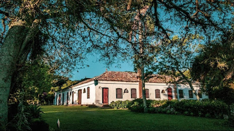
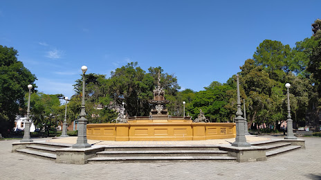
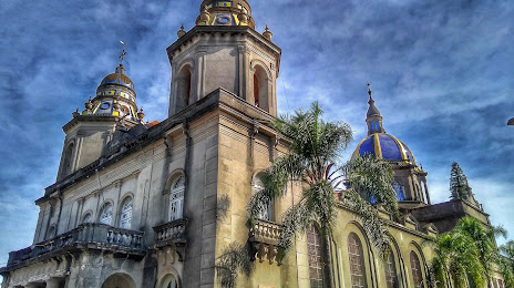
Guaraciaba — 11,502 (less by 309,172), Pelotas — 320,674 residents.
The cost of travel
Calculate the cost of the trip yourself using the fuel consumption calculator, changing the data in the table.