Virmond — Miranorte
Virmond — Santa Rosa
Virmond — Quatro Pontes
Virmond — Itaquitinga
Virmond — Vitória da Conquista
Virmond — Ponte Serrada
Virmond — Florianópolis
Virmond — Pentecoste
Virmond — São Francisco de Assis
Virmond — Jucuruçu
Virmond — Coimbra
Virmond — Lapa
Virmond — Matriz
Virmond — Capela do Alto
Virmond — Viradouro
Virmond — Taguatinga
Virmond — Cândido de Abreu
Virmond — Poá
Virmond — Quinze de Novembro
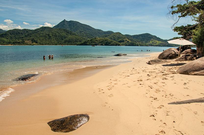
Virmond — Paraty distance, route on the map
Distance by car
Distance between Virmond, Paraná, Brazil and Paraty, Rio de Janeiro, Brazil by car is — km, or miles. To travel this distance by car, you need minute, or h.
Route on the map, driving directions
Car route Virmond — Paraty was created automatically. The road on the map is shown as a blue line. By moving the markers, you can create a new route through the points you need.
Distance by plane
If you decide to take a trip Virmond Paraty by plane, then you have to fly the distance — 796 km or 494 miles. It is marked on the map with a gray line (between two points in a straight line).
Flight time
Estimated flight time Virmond Paraty by plane at cruising speed 750 km / h will be — 1 h. and 3 min.
Direction of movement
Brazil, Virmond — right-hand traffic. Brazil, Paraty — right-hand traffic.
Difference in time
Virmond and Paraty are in the same time zone. Between them there is no time difference (UTC -3 America/Sao_Paulo).
Interesting Facts
Information on alternative ways to get to your destination.
The length of this distance is about 2.0% of the total length of the equator.
The percentage of the population is clearly shown in the graph:
Virmond — 3,887 (less by 11,231), Paraty — 15,118 residents.
The cost of travel
Calculate the cost of the trip yourself using the fuel consumption calculator, changing the data in the table.