Paraíso do Sul — Major Sales
Paraíso do Sul — Antônio Carlos
Paraíso do Sul — Chapadinha
Paraíso do Sul — Guarani das Missões
Paraíso do Sul — São Luiz Gonzaga
Paraíso do Sul — Ladário
Paraíso do Sul — Galiléia
Paraíso do Sul — Bom Jesus dos Perdões
Paraíso do Sul — Aceguá
Paraíso do Sul — Caxias
Paraíso do Sul — Alto Araguaia
Paraíso do Sul — Vigia
Paraíso do Sul — Contagem
Paraíso do Sul — Nova Lacerda
Paraíso do Sul — Uru
Paraíso do Sul — Pintadas
Paraíso do Sul — Mutum
Paraíso do Sul — Crateús
Paraíso do Sul — Araripe
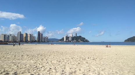
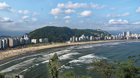
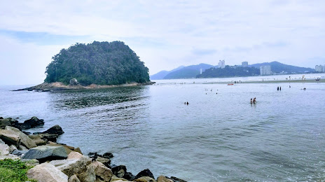
Paraíso do Sul — São Vicente distance, route on the map
Distance by car
Distance between Paraíso do Sul, State of Rio Grande do Sul, Brazil and São Vicente, São Paulo, Brazil by car is — km, or miles. To travel this distance by car, you need minute, or h.
Route on the map, driving directions
Car route Paraíso do Sul — São Vicente was created automatically. The road on the map is shown as a blue line. By moving the markers, you can create a new route through the points you need.
Distance by plane
If you decide to take a trip Paraíso do Sul São Vicente by plane, then you have to fly the distance — 922 km or 572 miles. It is marked on the map with a gray line (between two points in a straight line).
Flight time
Estimated flight time Paraíso do Sul São Vicente by plane at cruising speed 750 km / h will be — 1 h. and 13 min.
Direction of movement
Brazil, Paraíso do Sul — right-hand traffic. Brazil, São Vicente — right-hand traffic.
Difference in time
Paraíso do Sul and São Vicente are in the same time zone. Between them there is no time difference (UTC -3 America/Sao_Paulo).
Interesting Facts
Information on alternative ways to get to your destination.
The length of this distance is about 2.3% of the total length of the equator.
The percentage of the population is clearly shown in the graph:
Paraíso do Sul — 6,713 (less by 317,751), São Vicente — 324,464 residents.
The cost of travel
Calculate the cost of the trip yourself using the fuel consumption calculator, changing the data in the table.