Guryevsk — Preobrazhenka
Guryevsk — Uchebnyy
Guryevsk — Kartashov
Guryevsk — Tatishchevo
Guryevsk — Airport. Platov.
Guryevsk — Sarapul
Guryevsk — Morozova
Guryevsk — Barnaul
Guryevsk — Gribnoye
Guryevsk — Kryuki
Guryevsk — Tomari
Guryevsk — Kosyakovo
Guryevsk — Bykovskiy
Guryevsk — Posadnikovo
Guryevsk — Urzhumsky District
Guryevsk — Olenyok
Guryevsk — Segezha
Guryevsk — Karpowka
Guryevsk — Arkhangelsk
Guryevsk — Kaliningrad distance, route on the map
Distance by car
Distance between Guryevsk, Kaliningrad Oblast, Russian Federation and Kaliningrad, Kaliningrad Oblast, Russian Federation by car is — km, or miles. To travel this distance by car, you need minute, or h.
Route on the map, driving directions
Car route Guryevsk — Kaliningrad was created automatically. The road on the map is shown as a blue line. By moving the markers, you can create a new route through the points you need.
Distance by plane
If you decide to take a trip Guryevsk Kaliningrad by plane, then you have to fly the distance — 10 km or 6 miles. It is marked on the map with a gray line (between two points in a straight line).
Flight time
Estimated flight time Guryevsk Kaliningrad by plane at cruising speed 750 km / h will be —
Direction of movement
Russian Federation, Guryevsk — right-hand traffic. Russian Federation, Kaliningrad — right-hand traffic.
Difference in time
Guryevsk and Kaliningrad are in the same time zone. Between them there is no time difference (UTC +2 Europe/Kaliningrad).
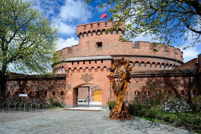
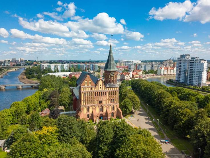
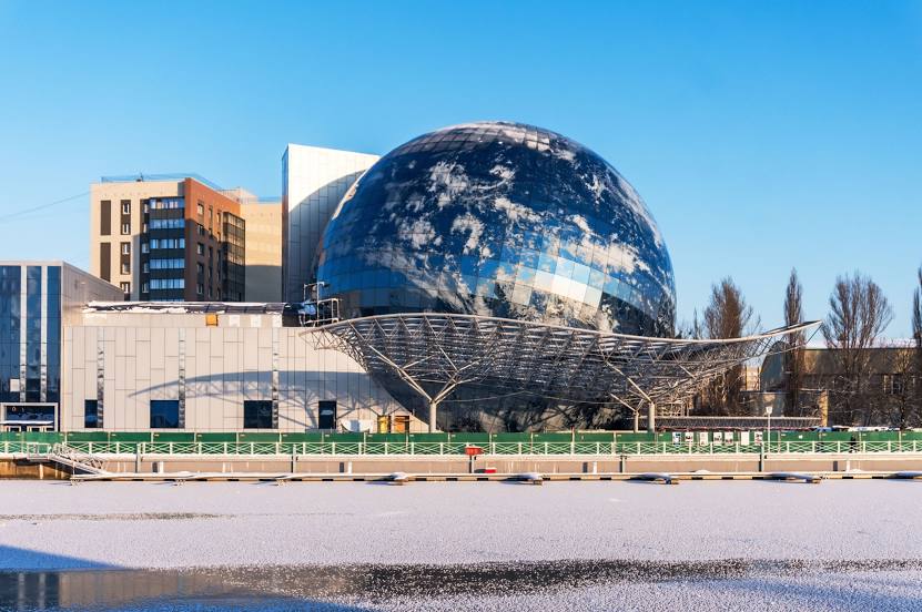
Interesting Facts
Information on alternative ways to get to your destination.
The length of this distance is about 0.0% of the total length of the equator.
The percentage of the population is clearly shown in the graph:
Guryevsk — 11,653 (less by 423,306), Kaliningrad — 434,959 residents.
The cost of travel
Calculate the cost of the trip yourself using the fuel consumption calculator, changing the data in the table.