Florestal — General Carneiro
Florestal — Águas Frias
Florestal — Corbélia
Florestal — Marcelino
Florestal — Conceição de Macabu
Florestal — Campos Novos
Florestal — Itaperuçu
Florestal — Monte Mor
Florestal — Sagres
Florestal — São Joaquim de Bicas
Florestal — Pereiras
Florestal — Rio Bananal
Florestal — Bom Jesus do Galho
Florestal — Itapira
Florestal — Caridade
Florestal — Minas Gerais
Florestal — Mangueirinha
Florestal — Caatinga
Florestal — Brejo Santo
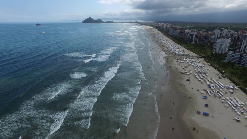
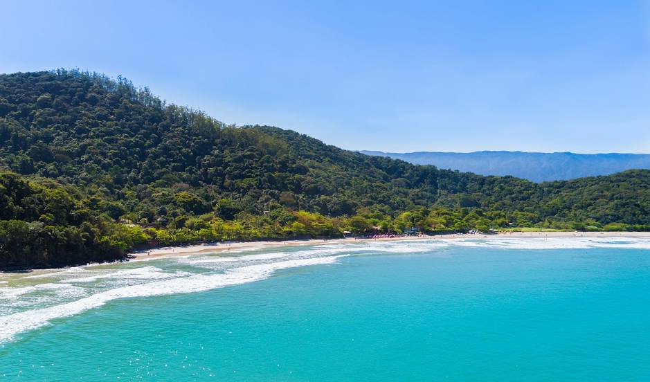
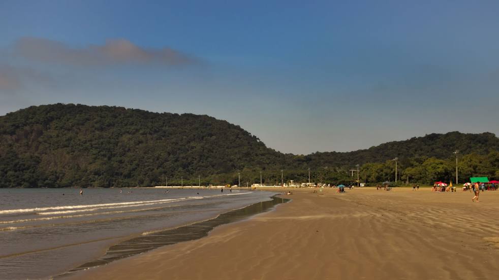
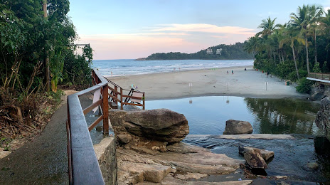
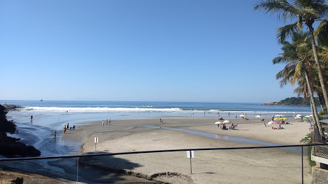
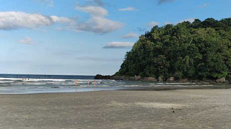
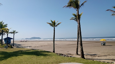
Florestal — Bertioga distance, route on the map
Distance by car
Distance between Florestal, Minas Gerais, Brazil and Bertioga, São Paulo, Brazil by car is — km, or miles. To travel this distance by car, you need minute, or h.
Route on the map, driving directions
Car route Florestal — Bertioga was created automatically. The road on the map is shown as a blue line. By moving the markers, you can create a new route through the points you need.
Distance by plane
If you decide to take a trip Florestal Bertioga by plane, then you have to fly the distance — 467 km or 290 miles. It is marked on the map with a gray line (between two points in a straight line).
Flight time
Estimated flight time Florestal Bertioga by plane at cruising speed 750 km / h will be — 37 min.
Direction of movement
Brazil, Florestal — right-hand traffic. Brazil, Bertioga — right-hand traffic.
Difference in time
Florestal and Bertioga are in the same time zone. Between them there is no time difference (UTC -3 America/Sao_Paulo).
Interesting Facts
Information on alternative ways to get to your destination.
The length of this distance is about 1.2% of the total length of the equator.
The percentage of the population is clearly shown in the graph:
Florestal — 5,363 (less by 11,639), Bertioga — 17,002 residents.
The cost of travel
Calculate the cost of the trip yourself using the fuel consumption calculator, changing the data in the table.