
 Maureville
Samoëns
Gréning
Toulouse
Volx
Goudet
Méhoncourt
Saint-Hymer
Pontcarré
Maureville
Samoëns
Gréning
Toulouse
Volx
Goudet
Méhoncourt
Saint-Hymer
Pontcarré
Étang de Bages-Sigean on the map, Narbonne, France
Photo
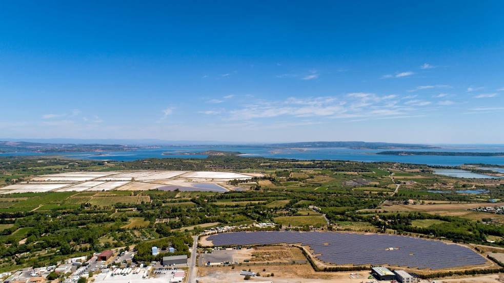
Where is located Étang de Bages-Sigean
Étang de Bages-Sigean — local attraction, which is located at no data and belongs to the category — -. Average visitor rating for this place — 4.6 (according to 88 ratings, information from open sources and relevant for 2022).
Exact location — Étang de Bages-Sigean, marked on the map with a red marker.
You can get directions to Étang de Bages-Sigean on the map from your location.
What else is interesting in Narbonne? You can see all the sights if you go to the city page.
Coordinates
Étang de Bages-Sigean, France coordinates in decimal format: latitude — 43.10891176237561, longitude — 2.989631030004594. When converted to degrees, minutes, seconds Étang de Bages-Sigean has the following coordinates: 43°6′32.08 north latitude and 2°59′22.67 east longitude.
Nearby cities
The largest cities that are located nearby:
- Perpignan — 55 km
- Montpellier — 84 km
- Nimes — 130 km
- Toulouse — 133 km
- Mataró
 (Spain) — 188 km
 - Marseille — 191 km
- Sabadell (Spain) — 196 km
- Terrassa (Spain) — 197 km
- Aix-en-Provence — 200 km
- Badalona (Spain) — 202 km
- Santa Coloma de Gramenet (Spain) — 203 km
- L'Hospitalet de Llobregat (Spain) — 214 km
- Toulon — 236 km
- Lleida (Spain) — 262 km
- Tarragona (Spain) — 271 km
- Saint-Étienne — 271 km
- Clermont-Ferrand — 287 km
- Grenoble — 307 km
- Lyon — 318 km
Distance to the capital
Distance to the capital (Paris) is about — 641 km.