
 Maureville
Samoëns
Gréning
Toulouse
Volx
Goudet
Méhoncourt
Saint-Hymer
Pontcarré
Maureville
Samoëns
Gréning
Toulouse
Volx
Goudet
Méhoncourt
Saint-Hymer
Pontcarré
Domaine Les Clos Maurice on the map, Saumur, France
Photo
Where is located Domaine Les Clos Maurice
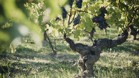
Domaine Les Clos Maurice — local attraction, which is located at 18 Rue de la Mairie, 49400 Varrains, France and belongs to the category — winery. Average visitor rating for this place — 4.9 (according to 44 ratings, information from open sources and relevant for 2022).
Exact location — Domaine Les Clos Maurice, marked on the map with a red marker.
You can get directions to Domaine Les Clos Maurice on the map from your location.
What else is interesting in Saumur? You can see all the sights if you go to the city page.
Coordinates
Domaine Les Clos Maurice, France coordinates in decimal format: latitude — 47.22226788967722, longitude — -0.06473997483333566. When converted to degrees, minutes, seconds Domaine Les Clos Maurice has the following coordinates: 47°13′20.16 north latitude and -0°3′53.06 east longitude.
Nearby cities
The largest cities that are located nearby:
- Angers — 43 km
- Tours — 59 km
- Le Mans — 85 km
- Nantes — 111 km
- Rennes — 151 km
- Orléans — 164 km
- Limoges — 189 km
- Caen — 214 km
- Boulogne-Billancourt — 243 km
- Le Havre — 247 km
- Rouen — 256 km
- Bordeaux — 271 km
- Clermont-Ferrand — 294 km
- Amiens — 337 km
- Brest — 347 km
- Reims — 370 km
- Dijon — 384 km
- Eastbourne
 (United Kingdom) — 389 km
 - Portsmouth (United Kingdom) — 400 km
Distance to the capital
Distance to the capital (Paris) is about — 256 km.