
 Maureville
Samoëns
Gréning
Toulouse
Volx
Goudet
Méhoncourt
Saint-Hymer
Pontcarré
Maureville
Samoëns
Gréning
Toulouse
Volx
Goudet
Méhoncourt
Saint-Hymer
Pontcarré
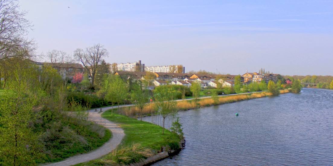
Canal de la Deûle on the map, La Madeleine, France
Photo
Where is located Canal de la Deûle
Canal de la Deûle — local attraction, which is located at Lys and belongs to the category — -. Average visitor rating for this place — 4.2 (according to 206 ratings, information from open sources and relevant for 2022).
Exact location — Canal de la Deûle, marked on the map with a red marker.
You can get directions to Canal de la Deûle on the map from your location.
What else is interesting in La Madeleine? You can see all the sights if you go to the city page.
Coordinates
Canal de la Deûle, France coordinates in decimal format: latitude — 50.65380181214344, longitude — 3.0696213070101126. When converted to degrees, minutes, seconds Canal de la Deûle has the following coordinates: 50°39′13.69 north latitude and 3°4′10.64 east longitude.
Nearby cities
The largest cities that are located nearby:
- Lille — 3 km
- Brussels
 (Belgium) — 92 km
 - Charleroi (Belgium) — 100 km
- Amiens — 101 km
- Antwerp (Belgium) — 111 km
- Namur (Belgium) — 128 km
- Breda
 (Netherlands) — 156 km
 - Dordrecht (Netherlands) — 169 km
- Reims — 169 km
- Rotterdam (Netherlands) — 170 km
- Tilburg (Netherlands) — 171 km
- Liège (Belgium) — 176 km
- The Hague (Netherlands) — 177 km
- Zoetermeer (Netherlands) — 183 km
- Maastricht (Netherlands) — 184 km
- Eindhoven (Netherlands) — 187 km
- Southend-on-Sea
 (United Kingdom) — 190 km
 - 's-Hertogenbosch (Netherlands) — 191 km
- Gillingham (United Kingdom) — 192 km
Distance to the capital
Distance to the capital (Paris) is about — 206 km.