
 Maureville
Samoëns
Gréning
Toulouse
Volx
Goudet
Méhoncourt
Saint-Hymer
Pontcarré
Maureville
Samoëns
Gréning
Toulouse
Volx
Goudet
Méhoncourt
Saint-Hymer
Pontcarré
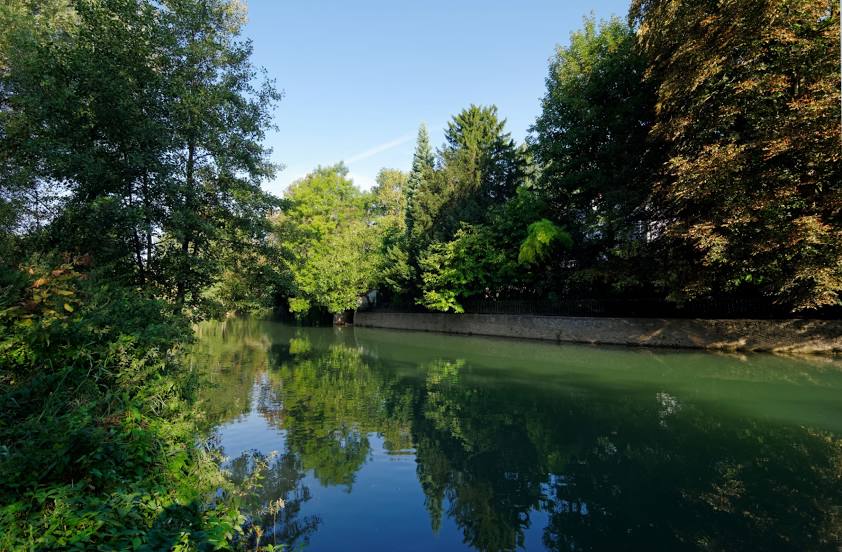
Grand Morin on the map, Coulommiers, France
Photo
Where is located Grand Morin
Grand Morin — local attraction, which is located at 118 km and belongs to the category — -. Average visitor rating for this place — 4.2 (according to 96 ratings, information from open sources and relevant for 2022).
Exact location — Grand Morin, marked on the map with a red marker.
You can get directions to Grand Morin on the map from your location.
What else is interesting in Coulommiers? You can see all the sights if you go to the city page.
Coordinates
Grand Morin, France coordinates in decimal format: latitude — 48.809064968878026, longitude — 3.090782529885058. When converted to degrees, minutes, seconds Grand Morin has the following coordinates: 48°48′32.63 north latitude and 3°5′26.82 east longitude.
Nearby cities
The largest cities that are located nearby:
- Boulogne-Billancourt — 61 km
- Reims — 84 km
- Amiens — 132 km
- Orléans — 133 km
- Rouen — 159 km
- Lille — 201 km
- Charleroi
 (Belgium) — 201 km
 - Dijon — 221 km
- Namur (Belgium) — 222 km
- Metz — 226 km
- Le Havre — 227 km
- Nancy — 227 km
- Le Mans — 231 km
- Tours — 238 km
- Brussels (Belgium) — 242 km
- Caen — 253 km
- Liège (Belgium) — 267 km
- Trier
 (Germany) — 274 km
 - Besançon — 281 km
Distance to the capital
Distance to the capital (Paris) is about — 54 km.