
 Maureville
Samoëns
Gréning
Toulouse
Volx
Goudet
Méhoncourt
Saint-Hymer
Pontcarré
Maureville
Samoëns
Gréning
Toulouse
Volx
Goudet
Méhoncourt
Saint-Hymer
Pontcarré
Domaine de la Grange on the map, Amboise, France
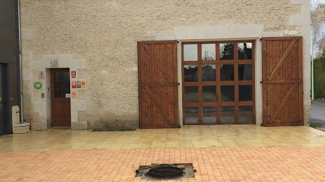
Photo
Where is located Domaine de la Grange
Domaine de la Grange — local attraction, which is located at 9 Rue de la Grange, 37150 Bléré, France and belongs to the category — winery. Average visitor rating for this place — 4.8 (according to 17 ratings, information from open sources and relevant for 2022).
Exact location — Domaine de la Grange, marked on the map with a red marker.
You can get directions to Domaine de la Grange on the map from your location.
What else is interesting in Amboise? You can see all the sights if you go to the city page.
Coordinates
Domaine de la Grange, France coordinates in decimal format: latitude — 47.39396349602701, longitude — 1.0043424251725566. When converted to degrees, minutes, seconds Domaine de la Grange has the following coordinates: 47°23′38.27 north latitude and 1°0′15.63 east longitude.
Nearby cities
The largest cities that are located nearby:
- Tours — 23 km
- Orléans — 87 km
- Le Mans — 88 km
- Angers — 116 km
- Limoges — 176 km
- Boulogne-Billancourt — 182 km
- Nantes — 192 km
- Rennes — 211 km
- Caen — 219 km
- Rouen — 225 km
- Le Havre — 239 km
- Clermont-Ferrand — 243 km
- Amiens — 290 km
- Reims — 300 km
- Dijon — 304 km
- Bordeaux — 310 km
- Saint-Étienne — 342 km
- Lyon — 349 km
- Villeurbanne — 352 km
Distance to the capital
Distance to the capital (Paris) is about — 191 km.