
 Maureville
Samoëns
Gréning
Toulouse
Volx
Goudet
Méhoncourt
Saint-Hymer
Pontcarré
Maureville
Samoëns
Gréning
Toulouse
Volx
Goudet
Méhoncourt
Saint-Hymer
Pontcarré
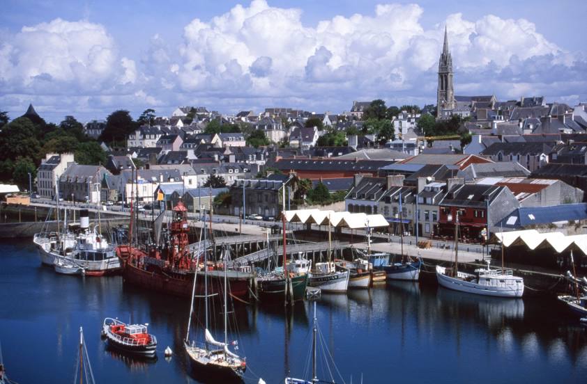
Port-musée on the map, Douarnenez, France
Photo
Where is located Port-musée
Port-musée — local attraction, which is located at Pl. de l'Enfer, 29100 Douarnenez, France and belongs to the category — maritime museum. Average visitor rating for this place — 4.3 (according to 1100 ratings, information from open sources and relevant for 2022).
Exact location — Port-musée, marked on the map with a red marker.
You can get directions to Port-musée on the map from your location.
What else is interesting in Douarnenez? You can see all the sights if you go to the city page.
Coordinates
Port-musée, France coordinates in decimal format: latitude — 48.09236613164603, longitude — -4.332707774803145. When converted to degrees, minutes, seconds Port-musée has the following coordinates: 48°5′32.52 north latitude and -4°19′57.75 east longitude.
Nearby cities
The largest cities that are located nearby:
- Brest — 35 km
- Rennes — 196 km
- Nantes — 230 km
- Angers — 289 km
- Exeter
 (United Kingdom) — 296 km
 - Caen — 310 km
- Le Mans — 335 km
- Bournemouth (United Kingdom) — 337 km
- Le Havre — 354 km
- Southampton (United Kingdom) — 372 km
- Portsmouth (United Kingdom) — 377 km
- Tours — 383 km
- Bristol (Great Britain) — 391 km
- Rouen — 418 km
- Swindon (United Kingdom) — 421 km
- Reading (United Kingdom) — 437 km
- Eastbourne (United Kingdom) — 438 km
- Crawley (United Kingdom) — 440 km
- Cheltenham (United Kingdom) — 448 km
Distance to the capital
Distance to the capital (Paris) is about — 500 km.