
 Maureville
Samoëns
Gréning
Toulouse
Volx
Goudet
Méhoncourt
Saint-Hymer
Pontcarré
Maureville
Samoëns
Gréning
Toulouse
Volx
Goudet
Méhoncourt
Saint-Hymer
Pontcarré
Musée du Bon Pasteur on the map, Avrillé, France
Photo
Where is located Musée du Bon Pasteur
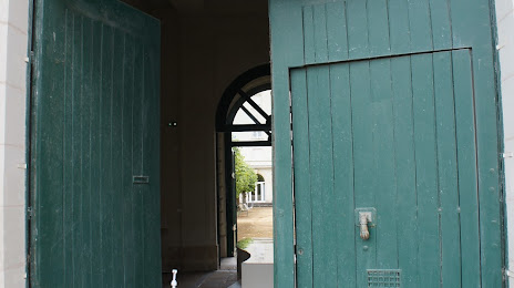
Musée du Bon Pasteur — local attraction, which is located at Entrée temporaire :, 3 Rue Brault, 49100 Angers, France and belongs to the category — local history museum. Average visitor rating for this place — 4.2 (according to 6 ratings, information from open sources and relevant for 2022).
Exact location — Musée du Bon Pasteur, marked on the map with a red marker.
You can get directions to Musée du Bon Pasteur on the map from your location.
What else is interesting in Avrillé? You can see all the sights if you go to the city page.
Coordinates
Musée du Bon Pasteur, France coordinates in decimal format: latitude — 47.471637844235836, longitude — -0.5694750748247223. When converted to degrees, minutes, seconds Musée du Bon Pasteur has the following coordinates: 47°28′17.9 north latitude and -0°34′10.11 east longitude.
Nearby cities
The largest cities that are located nearby:
- Angers — 4 km
- Nantes — 79 km
- Le Mans — 81 km
- Tours — 96 km
- Rennes — 105 km
- Caen — 186 km
- Orléans — 190 km
- Le Havre — 226 km
- Limoges — 233 km
- Rouen — 246 km
- Boulogne-Billancourt — 253 km
- Bordeaux — 295 km
- Brest — 302 km
- Amiens — 335 km
- Clermont-Ferrand — 342 km
- Eastbourne
 (United Kingdom) — 366 km
 - Bournemouth (United Kingdom) — 367 km
- Portsmouth (United Kingdom) — 368 km
- Southampton (United Kingdom) — 381 km
Distance to the capital
Distance to the capital (Paris) is about — 266 km.