
 Maureville
Samoëns
Gréning
Toulouse
Volx
Goudet
Méhoncourt
Saint-Hymer
Pontcarré
Maureville
Samoëns
Gréning
Toulouse
Volx
Goudet
Méhoncourt
Saint-Hymer
Pontcarré
Dent du Chat on the map, Aix-les-Bains, France
Photo
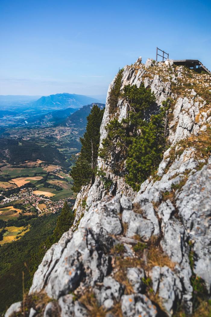
Where is located Dent du Chat
Dent du Chat — local attraction, which is located at 1,390 m and belongs to the category — -. Average visitor rating for this place — 4.8 (according to 194 ratings, information from open sources and relevant for 2022).
Exact location — Dent du Chat, marked on the map with a red marker.
You can get directions to Dent du Chat on the map from your location.
What else is interesting in Aix-les-Bains? You can see all the sights if you go to the city page.
Coordinates
Dent du Chat, France coordinates in decimal format: latitude — 45.69133525456612, longitude — 5.9121563251144975. When converted to degrees, minutes, seconds Dent du Chat has the following coordinates: 45°41′28.81 north latitude and 5°54′43.76 east longitude.
Nearby cities
The largest cities that are located nearby:
- Grenoble — 58 km
- Geneva
 (Switzerland) — 59 km
 - Villeurbanne — 79 km
- Lyon — 83 km
- Lausanne (Switzerland) — 107 km
- Saint-Étienne — 121 km
- Turin
 (Italy) — 155 km
 - Besançon — 171 km
- Bern (Switzerland) — 181 km
- Dijon — 192 km
- Novara (Italy) — 212 km
- Clermont-Ferrand — 218 km
- Nimes — 239 km
- Aix-en-Provence — 242 km
- Basel (Switzerland) — 243 km
- Nice — 244 km
- Mulhouse — 251 km
- Milan (Italy) — 255 km
- Monza (Italy) — 261 km
Distance to the capital
Distance to the capital (Paris) is about — 443 km.