
 Maureville
Samoëns
Gréning
Toulouse
Volx
Goudet
Méhoncourt
Saint-Hymer
Pontcarré
Maureville
Samoëns
Gréning
Toulouse
Volx
Goudet
Méhoncourt
Saint-Hymer
Pontcarré
Parc de la Vallée aux Loups on the map, Fontenay-aux-Roses, France
Photo
Where is located Parc de la Vallée aux Loups
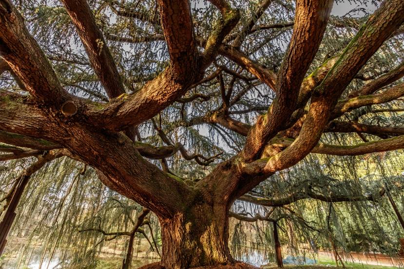
Parc de la Vallée aux Loups — local attraction, which is located at 87 Rue de Chateaubriand, 92290 Châtenay-Malabry, France and belongs to the category — park. Average visitor rating for this place — 4.6 (according to 3484 ratings, information from open sources and relevant for 2022).
Exact location — Parc de la Vallée aux Loups, marked on the map with a red marker.
You can get directions to Parc de la Vallée aux Loups on the map from your location.
What else is interesting in Fontenay-aux-Roses? You can see all the sights if you go to the city page.
Coordinates
Parc de la Vallée aux Loups, France coordinates in decimal format: latitude — 48.77152315986843, longitude — 2.265900225220723. When converted to degrees, minutes, seconds Parc de la Vallée aux Loups has the following coordinates: 48°46′17.48 north latitude and 2°15′57.24 east longitude.
Nearby cities
The largest cities that are located nearby:
- Boulogne-Billancourt — 7 km
- Orléans — 102 km
- Rouen — 112 km
- Amiens — 122 km
- Reims — 136 km
- Le Havre — 175 km
- Le Mans — 177 km
- Tours — 195 km
- Caen — 197 km
- Lille — 210 km
- Charleroi
 (Belgium) — 235 km
 - Angers — 258 km
- Eastbourne
 (United Kingdom) — 259 km
 - Namur (Belgium) — 260 km
- Dijon — 263 km
- Brussels (Belgium) — 270 km
- Metz — 284 km
- Nancy — 285 km
- Rennes — 302 km
Distance to the capital
Distance to the capital (Paris) is about — 11 km.