
 Maureville
Samoëns
Gréning
Toulouse
Volx
Goudet
Méhoncourt
Saint-Hymer
Pontcarré
Maureville
Samoëns
Gréning
Toulouse
Volx
Goudet
Méhoncourt
Saint-Hymer
Pontcarré
Place des Clercs on the map, Bourg-lès-Valence, France
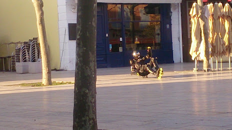
Photo
Where is located Place des Clercs
Place des Clercs — local attraction, which is located at 10 Pl. des Clercs, 26000 Valence, France and belongs to the category — market. Average visitor rating for this place — 4.3 (according to 331 rating, information from open sources and relevant for 2022).
Exact location — Place des Clercs, marked on the map with a red marker.
You can get directions to Place des Clercs on the map from your location.
What else is interesting in Bourg-lès-Valence? You can see all the sights if you go to the city page.
Coordinates
Place des Clercs, France coordinates in decimal format: latitude — 44.931703299492376, longitude — 4.890103025089116. When converted to degrees, minutes, seconds Place des Clercs has the following coordinates: 44°55′54.13 north latitude and 4°53′24.37 east longitude.
Nearby cities
The largest cities that are located nearby:
- Saint-Étienne — 67 km
- Grenoble — 70 km
- Lyon — 90 km
- Villeurbanne — 91 km
- Nimes — 130 km
- Aix-en-Provence — 163 km
- Clermont-Ferrand — 167 km
- Geneva
 (Switzerland) — 168 km
 - Montpellier — 169 km
- Marseille — 186 km
- Toulon — 218 km
- Turin
 (Italy) — 218 km
 - Lausanne (Switzerland) — 219 km
- Nice — 233 km
- Dijon — 263 km
- Besançon — 267 km
- Bern (Switzerland) — 293 km
- Novara (Italy) — 294 km
- Limoges — 297 km
Distance to the capital
Distance to the capital (Paris) is about — 477 km.