
 Maureville
Samoëns
Gréning
Toulouse
Volx
Goudet
Méhoncourt
Saint-Hymer
Pontcarré
Maureville
Samoëns
Gréning
Toulouse
Volx
Goudet
Méhoncourt
Saint-Hymer
Pontcarré
Église Sainte-Madeleine on the map, Sainte-Savine, France
Photo
Where is located Église Sainte-Madeleine
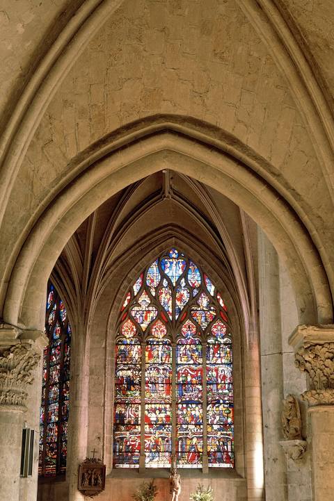
Église Sainte-Madeleine — local attraction, which is located at 3 Rue de la Madeleine, 10000 Troyes, France and belongs to the category — catholic church. Average visitor rating for this place — 4.6 (according to 239 ratings, information from open sources and relevant for 2022).
Exact location — Église Sainte-Madeleine, marked on the map with a red marker.
You can get directions to Église Sainte-Madeleine on the map from your location.
What else is interesting in Sainte-Savine? You can see all the sights if you go to the city page.
Coordinates
Église Sainte-Madeleine, France coordinates in decimal format: latitude — 48.297626660590744, longitude — 4.071151325204052. When converted to degrees, minutes, seconds Église Sainte-Madeleine has the following coordinates: 48°17′51.46 north latitude and 4°4′16.14 east longitude.
Nearby cities
The largest cities that are located nearby:
- Reims — 107 km
- Dijon — 130 km
- Boulogne-Billancourt — 145 km
- Nancy — 161 km
- Orléans — 165 km
- Metz — 178 km
- Besançon — 188 km
- Amiens — 217 km
- Charleroi
 (Belgium) — 236 km
 - Saarbrücken
 (Germany) — 237 km
 - Trier (Germany) — 245 km
- Namur (Belgium) — 247 km
- Rouen — 248 km
- Mulhouse — 251 km
- Lille — 268 km
- Tours — 271 km
- Strasbourg — 272 km
- Basel
 (Switzerland) — 276 km
 - Lausanne (Switzerland) — 277 km
Distance to the capital
Distance to the capital (Paris) is about — 141 km.