
 Maureville
Samoëns
Gréning
Toulouse
Volx
Goudet
Méhoncourt
Saint-Hymer
Pontcarré
Maureville
Samoëns
Gréning
Toulouse
Volx
Goudet
Méhoncourt
Saint-Hymer
Pontcarré
Château de Nantouillet on the map, Claye-Souilly, France
Photo
Where is located Château de Nantouillet
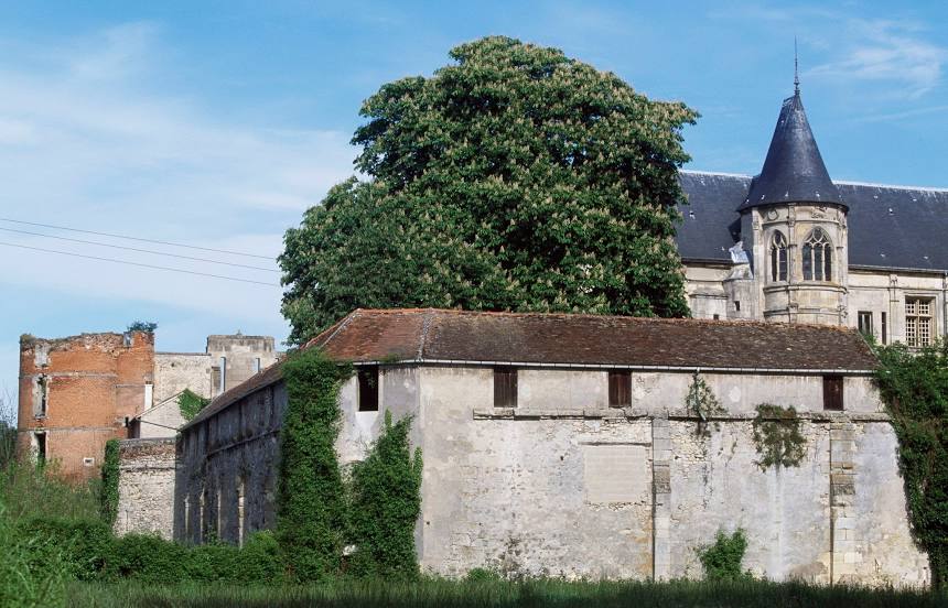
Château de Nantouillet — local attraction, which is located at 77230 Nantouillet, France and belongs to the category — château. Average visitor rating for this place — 4.0 (according to 21 rating, information from open sources and relevant for 2022).
Exact location — Château de Nantouillet, marked on the map with a red marker.
You can get directions to Château de Nantouillet on the map from your location.
What else is interesting in Claye-Souilly? You can see all the sights if you go to the city page.
Coordinates
Château de Nantouillet, France coordinates in decimal format: latitude — 49.00219700633578, longitude — 2.704174425228913. When converted to degrees, minutes, seconds Château de Nantouillet has the following coordinates: 49°0′7.91 north latitude and 2°42′15.03 east longitude.
Nearby cities
The largest cities that are located nearby:
- Boulogne-Billancourt — 35 km
- Reims — 103 km
- Amiens — 108 km
- Rouen — 127 km
- Orléans — 129 km
- Lille — 188 km
- Le Havre — 195 km
- Charleroi
 (Belgium) — 204 km
 - Le Mans — 211 km
- Caen — 223 km
- Namur (Belgium) — 228 km
- Tours — 228 km
- Brussels (Belgium) — 240 km
- Dijon — 252 km
- Metz — 253 km
- Nancy — 257 km
- Eastbourne
 (United Kingdom) — 262 km
 - Liège (Belgium) — 275 km
- Antwerp (Belgium) — 278 km
Distance to the capital
Distance to the capital (Paris) is about — 30 km.