
 Maureville
Samoëns
Gréning
Toulouse
Volx
Goudet
Méhoncourt
Saint-Hymer
Pontcarré
Maureville
Samoëns
Gréning
Toulouse
Volx
Goudet
Méhoncourt
Saint-Hymer
Pontcarré
Déhès Woods on the map, Saint-Médard-en-Jalles, France
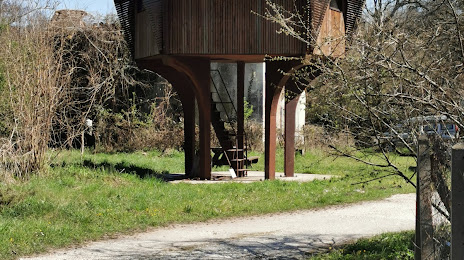
Photo
Where is located Déhès Woods
Déhès Woods — local attraction, which is located at Chem. du Dehes, 33185 Le Haillan, France and belongs to the category — national forest. Average visitor rating for this place — 4.6 (according to 20 ratings, information from open sources and relevant for 2022).
Exact location — Déhès Woods, marked on the map with a red marker.
You can get directions to Déhès Woods on the map from your location.
What else is interesting in Saint-Médard-en-Jalles? You can see all the sights if you go to the city page.
Coordinates
Déhès Woods, France coordinates in decimal format: latitude — 44.892260776027236, longitude — -0.6801076749121674. When converted to degrees, minutes, seconds Déhès Woods has the following coordinates: 44°53′32.14 north latitude and -0°40′48.39 east longitude.
Nearby cities
The largest cities that are located nearby:
- Bordeaux — 13 km
- Limoges — 184 km
- San Sebastián
 (Spain) — 202 km
 - Toulouse — 224 km
- Pamplona (Spain) — 242 km
- Bilbao (Spain) — 254 km
- Nantes — 264 km
- Vitoria-Gasteiz (Spain) — 276 km
- Angers — 286 km
- Santander (Spain) — 294 km
- Tours — 296 km
- Logroño (Spain) — 304 km
- Clermont-Ferrand — 309 km
- Le Mans — 351 km
- Zaragoza (Spain) — 359 km
- Rennes — 363 km
- Burgos (Spain) — 373 km
- Lleida (Spain) — 379 km
- Perpignan — 382 km
Distance to the capital
Distance to the capital (Paris) is about — 497 km.