
 Maureville
Samoëns
Gréning
Toulouse
Volx
Goudet
Méhoncourt
Saint-Hymer
Pontcarré
Maureville
Samoëns
Gréning
Toulouse
Volx
Goudet
Méhoncourt
Saint-Hymer
Pontcarré
Château de La Desnerie on the map, La Chapelle-sur-Erdre, France
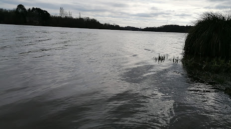
Photo
Where is located Château de La Desnerie
Château de La Desnerie — local attraction, which is located at 44240 La Chapelle-sur-Erdre, France and belongs to the category — castle. Average visitor rating for this place — 4.3 (according to 24 ratings, information from open sources and relevant for 2022).
Exact location — Château de La Desnerie, marked on the map with a red marker.
You can get directions to Château de La Desnerie on the map from your location.
What else is interesting in La Chapelle-sur-Erdre? You can see all the sights if you go to the city page.
Coordinates
Château de La Desnerie, France coordinates in decimal format: latitude — 47.27251462076993, longitude — -1.5352410748316339. When converted to degrees, minutes, seconds Château de La Desnerie has the following coordinates: 47°16′21.05 north latitude and -1°32′6.87 east longitude.
Nearby cities
The largest cities that are located nearby:
- Nantes — 9 km
- Angers — 76 km
- Rennes — 91 km
- Le Mans — 151 km
- Tours — 168 km
- Caen — 225 km
- Brest — 247 km
- Orléans — 265 km
- Le Havre — 270 km
- Limoges — 271 km
- Bordeaux — 283 km
- Rouen — 304 km
- Boulogne-Billancourt — 324 km
- Bournemouth
 (United Kingdom) — 379 km
 - Portsmouth (United Kingdom) — 391 km
- Clermont-Ferrand — 395 km
- Amiens — 397 km
- Southampton (United Kingdom) — 399 km
- Exeter (United Kingdom) — 403 km
Distance to the capital
Distance to the capital (Paris) is about — 338 km.