
 Maureville
Samoëns
Gréning
Toulouse
Volx
Goudet
Méhoncourt
Saint-Hymer
Pontcarré
Maureville
Samoëns
Gréning
Toulouse
Volx
Goudet
Méhoncourt
Saint-Hymer
Pontcarré
Musée Hébert on the map, Saint-Rémy-de-Provence, France
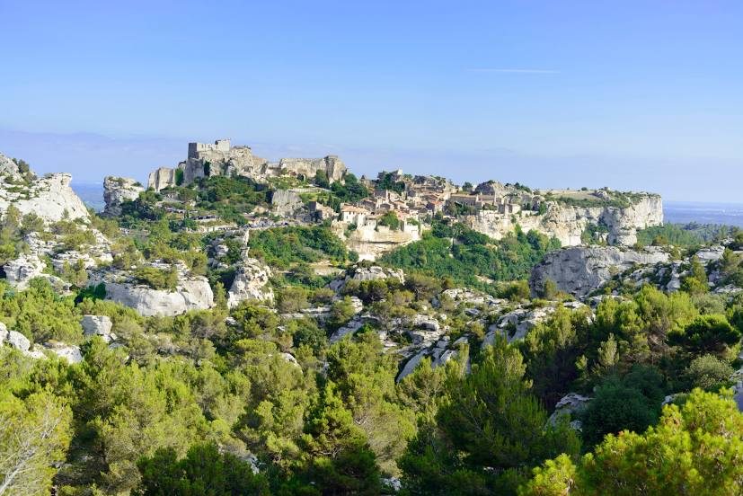
Photo
Where is located Musée Hébert
Musée Hébert — local attraction, which is located at no data and belongs to the category — -. Average visitor rating for this place — 4.6 (according to 101 rating, information from open sources and relevant for 2022).
Exact location — Musée Hébert, marked on the map with a red marker.
You can get directions to Musée Hébert on the map from your location.
What else is interesting in Saint-Rémy-de-Provence? You can see all the sights if you go to the city page.
Coordinates
Musée Hébert, France coordinates in decimal format: latitude — 43.757443344398624, longitude — 4.8506937917151625. When converted to degrees, minutes, seconds Musée Hébert has the following coordinates: 43°45′26.8 north latitude and 4°51′2.5 east longitude.
Nearby cities
The largest cities that are located nearby:
- Nimes — 38 km
- Aix-en-Provence — 57 km
- Marseille — 70 km
- Montpellier — 79 km
- Toulon — 115 km
- Grenoble — 170 km
- Saint-Étienne — 186 km
- Nice — 194 km
- Perpignan — 199 km
- Lyon — 218 km
- Villeurbanne — 219 km
- Clermont-Ferrand — 258 km
- Turin
 (Italy) — 264 km
 - Toulouse — 272 km
- Geneva
 (Switzerland) — 285 km
 - Mataró
 (Spain) — 318 km
 - Lausanne (Switzerland) — 332 km
- Genoa (Italy) — 332 km
- Sabadell (Spain) — 335 km
Distance to the capital
Distance to the capital (Paris) is about — 599 km.