
 Maureville
Samoëns
Gréning
Toulouse
Volx
Goudet
Méhoncourt
Saint-Hymer
Pontcarré
Maureville
Samoëns
Gréning
Toulouse
Volx
Goudet
Méhoncourt
Saint-Hymer
Pontcarré
Cailly on the map, Le Petit-Quevilly, France
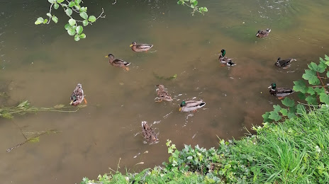
Photo
Where is located Cailly
Cailly — local attraction, which is located at 29 km and belongs to the category — -. Average visitor rating for this place — 5.0 (according to 2 ratings, information from open sources and relevant for 2022).
Exact location — Cailly, marked on the map with a red marker.
You can get directions to Cailly on the map from your location.
What else is interesting in Le Petit-Quevilly? You can see all the sights if you go to the city page.
Coordinates
Cailly, France coordinates in decimal format: latitude — 49.42353244550804, longitude — 1.056696304159375. When converted to degrees, minutes, seconds Cailly has the following coordinates: 49°25′24.72 north latitude and 1°3′24.11 east longitude.
Nearby cities
The largest cities that are located nearby:
- Rouen — 4 km
- Le Havre — 68 km
- Amiens — 102 km
- Caen — 107 km
- Boulogne-Billancourt — 108 km
- Eastbourne
 (United Kingdom) — 157 km
 - Le Mans — 170 km
- Orléans — 180 km
- Lille — 193 km
- Crawley (United Kingdom) — 205 km
- Portsmouth (United Kingdom) — 214 km
- Reims — 216 km
- Gillingham (United Kingdom) — 219 km
- Tours — 227 km
- Sutton (United Kingdom) — 230 km
- Southend-on-Sea (United Kingdom) — 235 km
- Southampton (United Kingdom) — 237 km
- Basildon (United Kingdom) — 240 km
- London (United Kingdom) — 244 km
Distance to the capital
Distance to the capital (Paris) is about — 113 km.