
 Maureville
Samoëns
Gréning
Toulouse
Volx
Goudet
Méhoncourt
Saint-Hymer
Pontcarré
Maureville
Samoëns
Gréning
Toulouse
Volx
Goudet
Méhoncourt
Saint-Hymer
Pontcarré
Plage du Veillon on the map, Château-d'Olonne, France
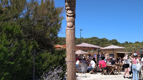
Photo
Where is located Plage du Veillon
Plage du Veillon — local attraction, which is located at no data and belongs to the category — -. Average visitor rating for this place — 4.7 (according to 496 ratings, information from open sources and relevant for 2022).
Exact location — Plage du Veillon, marked on the map with a red marker.
You can get directions to Plage du Veillon on the map from your location.
What else is interesting in Château-d'Olonne? You can see all the sights if you go to the city page.
Coordinates
Plage du Veillon, France coordinates in decimal format: latitude — 46.475556530604024, longitude — -1.7483723748589595. When converted to degrees, minutes, seconds Plage du Veillon has the following coordinates: 46°28′32 north latitude and -1°44′54.14 east longitude.
Nearby cities
The largest cities that are located nearby:
- Nantes — 80 km
- Angers — 139 km
- Rennes — 178 km
- Bordeaux — 205 km
- Tours — 206 km
- Le Mans — 219 km
- Limoges — 243 km
- Brest — 290 km
- Orléans — 311 km
- Caen — 312 km
- San Sebastián
 (Spain) — 353 km
 - Le Havre — 356 km
- Bilbao (Spain) — 371 km
- Santander (Spain) — 375 km
- Clermont-Ferrand — 381 km
- Rouen — 384 km
- Boulogne-Billancourt — 388 km
- Pamplona (Spain) — 408 km
- Toulouse — 410 km
Distance to the capital
Distance to the capital (Paris) is about — 405 km.