
 Maureville
Samoëns
Gréning
Toulouse
Volx
Goudet
Méhoncourt
Saint-Hymer
Pontcarré
Maureville
Samoëns
Gréning
Toulouse
Volx
Goudet
Méhoncourt
Saint-Hymer
Pontcarré
Forêt Domaniale de Bonsecours on the map, Condé-sur-l'Escaut, France
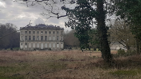
Photo
Where is located Forêt Domaniale de Bonsecours
Forêt Domaniale de Bonsecours — local attraction, which is located at no data and belongs to the category — -. Average visitor rating for this place — 4.5 (according to 2 ratings, information from open sources and relevant for 2022).
Exact location — Forêt Domaniale de Bonsecours, marked on the map with a red marker.
You can get directions to Forêt Domaniale de Bonsecours on the map from your location.
What else is interesting in Condé-sur-l'Escaut? You can see all the sights if you go to the city page.
Coordinates
Forêt Domaniale de Bonsecours, France coordinates in decimal format: latitude — 50.48192836570191, longitude — 3.6012029066088167. When converted to degrees, minutes, seconds Forêt Domaniale de Bonsecours has the following coordinates: 50°28′54.94 north latitude and 3°36′4.33 east longitude.
Nearby cities
The largest cities that are located nearby:
- Lille — 43 km
- Charleroi
 (Belgium) — 60 km
 - Brussels (Belgium) — 69 km
- Namur (Belgium) — 90 km
- Antwerp (Belgium) — 102 km
- Amiens — 111 km
- Reims — 135 km
- Liège (Belgium) — 141 km
- Breda
 (Netherlands) — 149 km
 - Maastricht (Netherlands) — 153 km
- Tilburg (Netherlands) — 160 km
- Dordrecht (Netherlands) — 168 km
- Eindhoven (Netherlands) — 170 km
- Rotterdam (Netherlands) — 174 km
- Aachen
 (Germany) — 178 km
 - 's-Hertogenbosch (Netherlands) — 181 km
- The Hague (Netherlands) — 186 km
- Zoetermeer (Netherlands) — 188 km
- Leiden (Netherlands) — 199 km
Distance to the capital
Distance to the capital (Paris) is about — 202 km.