
 Maureville
Samoëns
Gréning
Toulouse
Volx
Goudet
Méhoncourt
Saint-Hymer
Pontcarré
Maureville
Samoëns
Gréning
Toulouse
Volx
Goudet
Méhoncourt
Saint-Hymer
Pontcarré
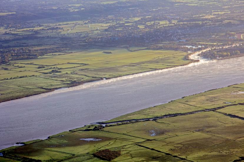
Loire estuary (Estuaire de la Loire) on the map, Saint-Brevin-les-Pins, France
Photo
Where is located Loire estuary (Estuaire de la Loire)
Loire estuary (Estuaire de la Loire) — local attraction, which is located at no data and belongs to the category — -. Average visitor rating for this place — 4.5 (according to 6 ratings, information from open sources and relevant for 2022).
Exact location — Loire estuary (Estuaire de la Loire), marked on the map with a red marker.
You can get directions to Loire estuary (Estuaire de la Loire) on the map from your location.
What else is interesting in Saint-Brevin-les-Pins? You can see all the sights if you go to the city page.
Coordinates
Loire estuary (Estuaire de la Loire), France coordinates in decimal format: latitude — 47.28944513380665, longitude — -2.124996100662735. When converted to degrees, minutes, seconds Loire estuary (Estuaire de la Loire) has the following coordinates: 47°17′22 north latitude and -2°7′29.99 east longitude.
Nearby cities
The largest cities that are located nearby:
- Nantes — 46 km
- Rennes — 103 km
- Angers — 122 km
- Le Mans — 194 km
- Brest — 212 km
- Tours — 214 km
- Caen — 250 km
- Bordeaux — 294 km
- Le Havre — 297 km
- Limoges — 307 km
- Orléans — 311 km
- Rouen — 338 km
- Boulogne-Billancourt — 366 km
- Bournemouth
 (United Kingdom) — 384 km
 - Exeter (United Kingdom) — 396 km
- Portsmouth (United Kingdom) — 402 km
- Southampton (United Kingdom) — 408 km
- Eastbourne (United Kingdom) — 426 km
- Amiens — 432 km
Distance to the capital
Distance to the capital (Paris) is about — 376 km.